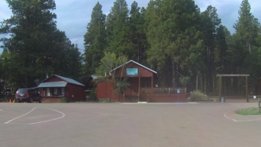
Coconino National Forest & Sedona UTV Adventure
Day 2
|
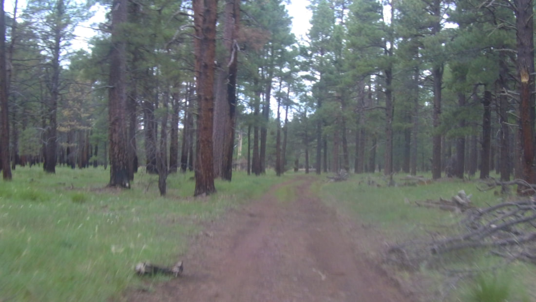
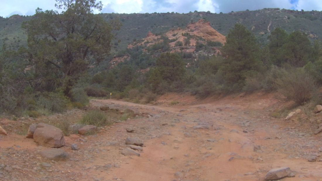
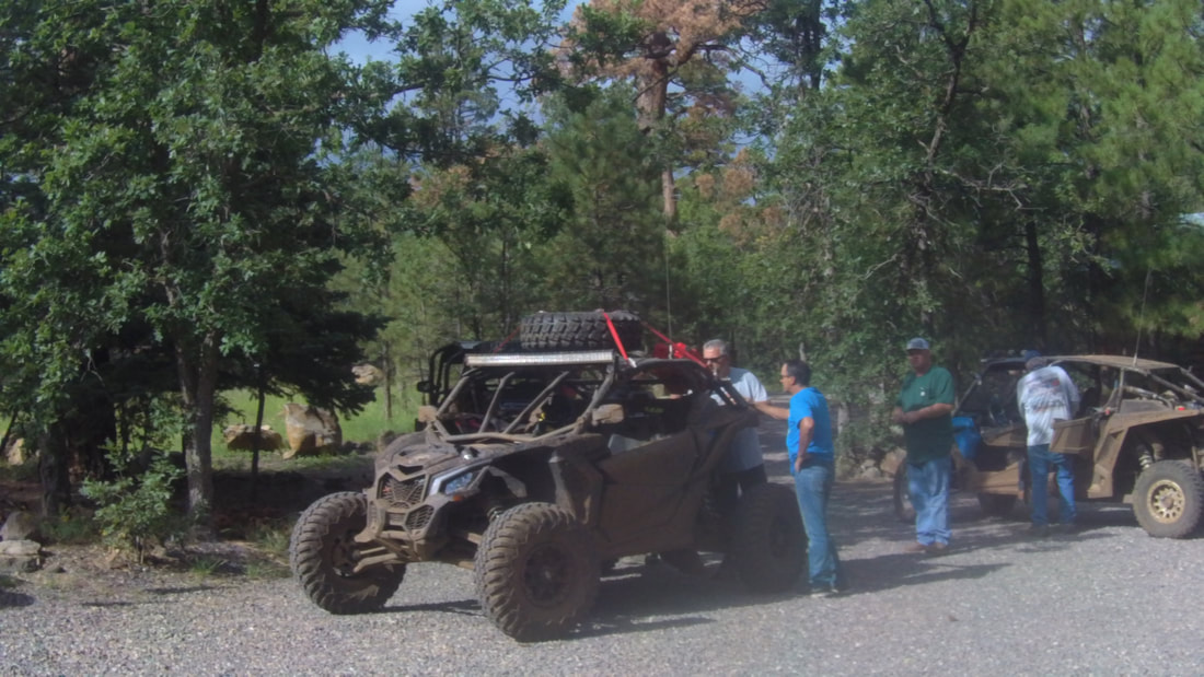
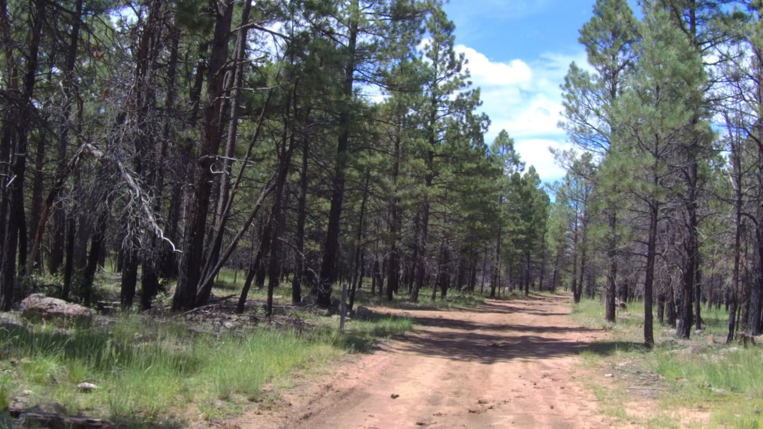
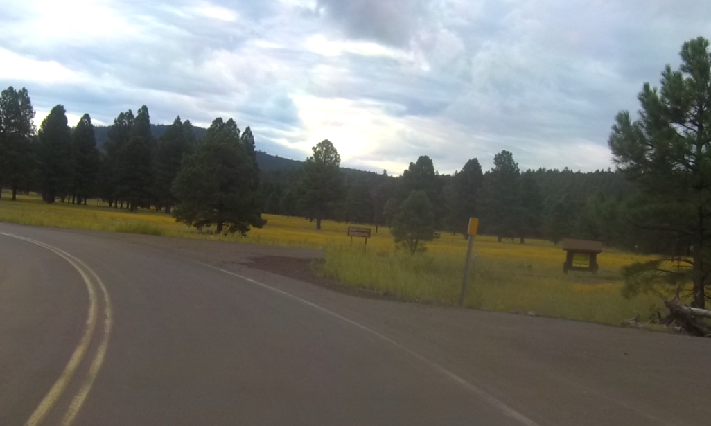
Everyone was looking forward to this ride since we were heading over to Sedona and were going to take the Broken Arrow Trail. We headed south through Mormon Lake and made a right turn on FR 219, I decided to take an alternative route since this trail was a little rocky and I had promised everyone that today's adventure would not be as bumpy as Monday's ride. So I took FR 219B which took us a little north but was a nice scenic trail through the forest. It dropped us out onto FR 91, a smooth dirt toad that runs parallel to a marsh called Long Park. During my pre-runs I tried to find a route across this marsh but every trail was a private road and took me across the marsh and the only exit was back on the East side onto FR 91. So we headed south and took FR 9371L. This was a trail I found on my pre-run and decided to explore since most of the routes over to the 17 Freeway were just dirt roads.
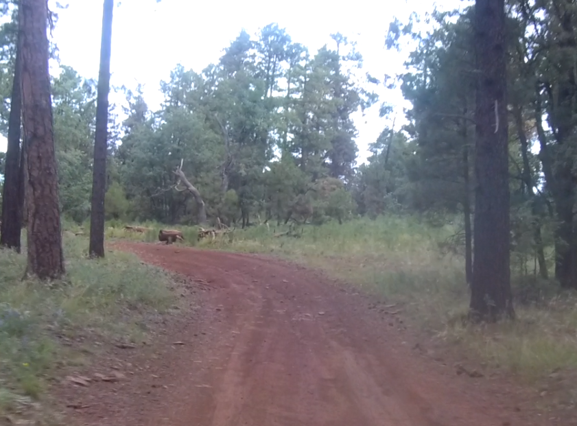
This was a cool trail that went around a small lake (my first wrong turn of the day) and through several closed gates. It was narrow and made its way west through the forest and around the trees. Eventually it dropped us out onto FR 765 and I made a left turn. I quickly realized that this was the wrong way and turned around. I then turned left onto FR 9471M...another wrong turn. Now back on FR 765 I turned left and finally found Bar M Road FR 127 and we were now back on track. |
|

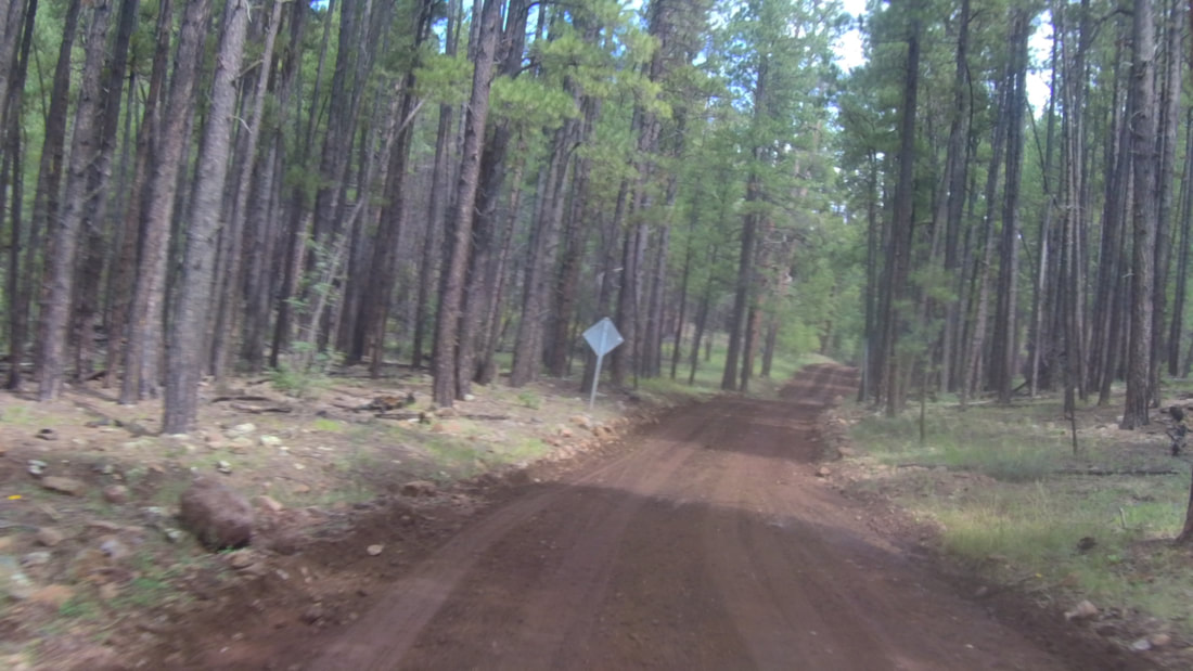
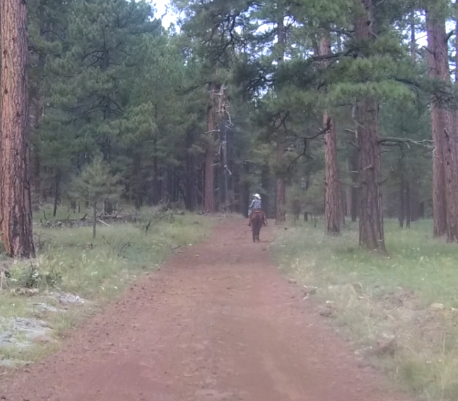
We continued west for several miles eventually merging onto FR 226. We made good time on these dirt roads except for a slight delay while I waited for a horse and rider to move off the road.
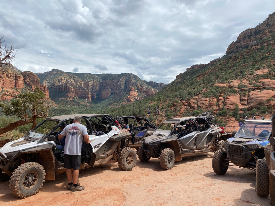
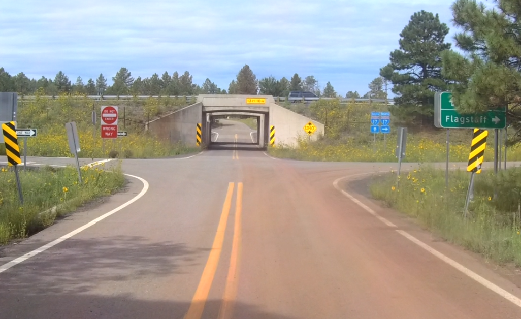
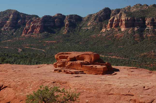
Soon we arrived at the 17 freeway and made our way under and onto Schnebly Hill Road (FR 153). We stopped to re-group and then headed up the hill. 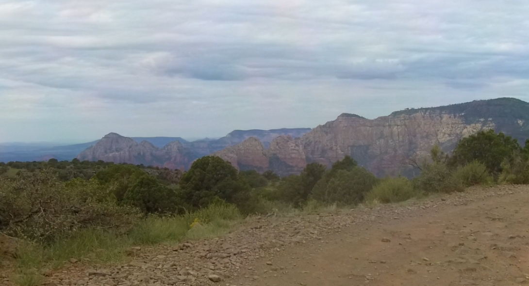
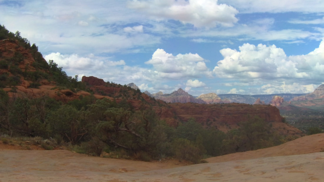
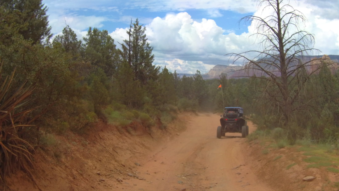
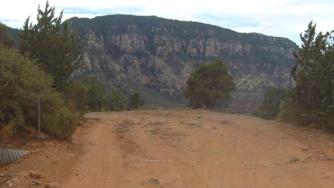
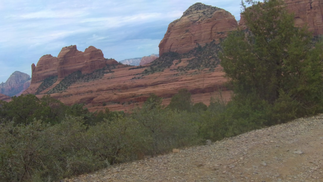
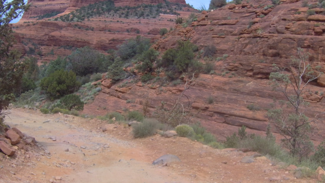
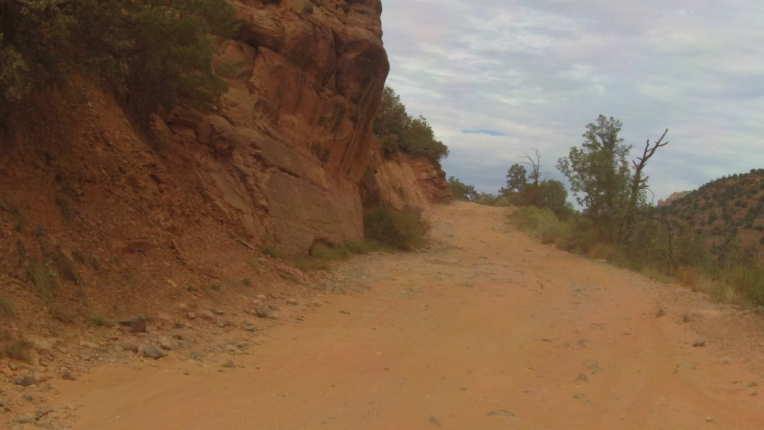
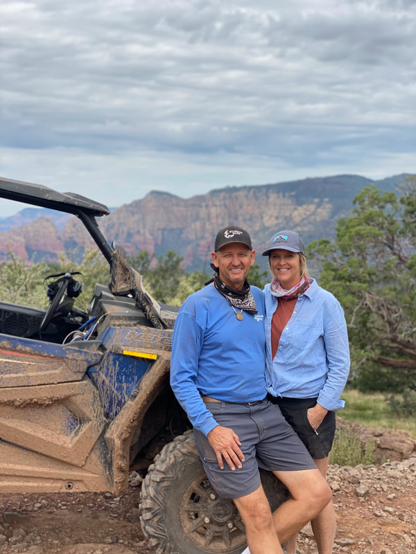
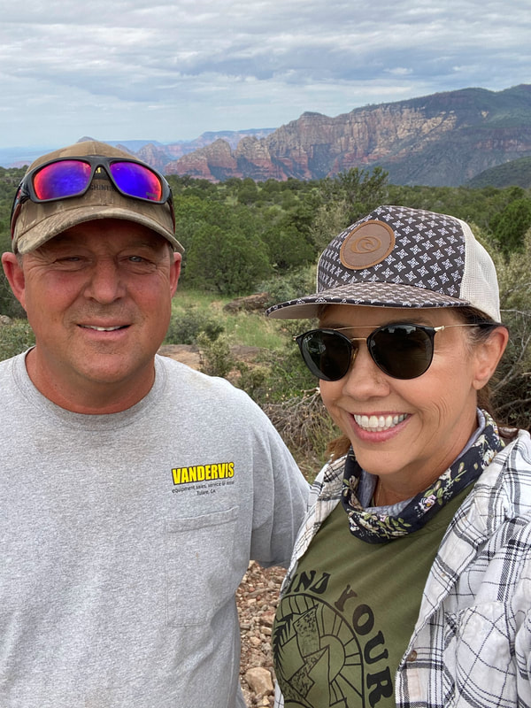
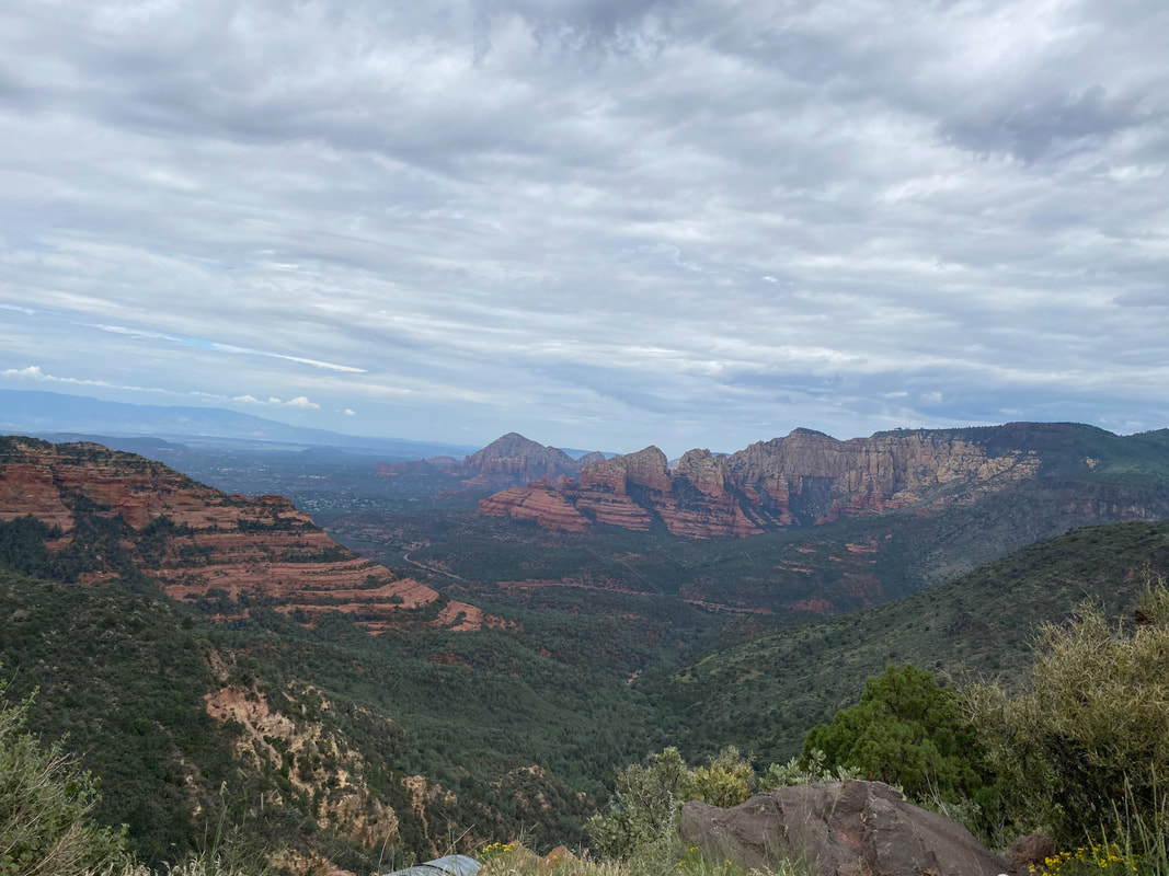
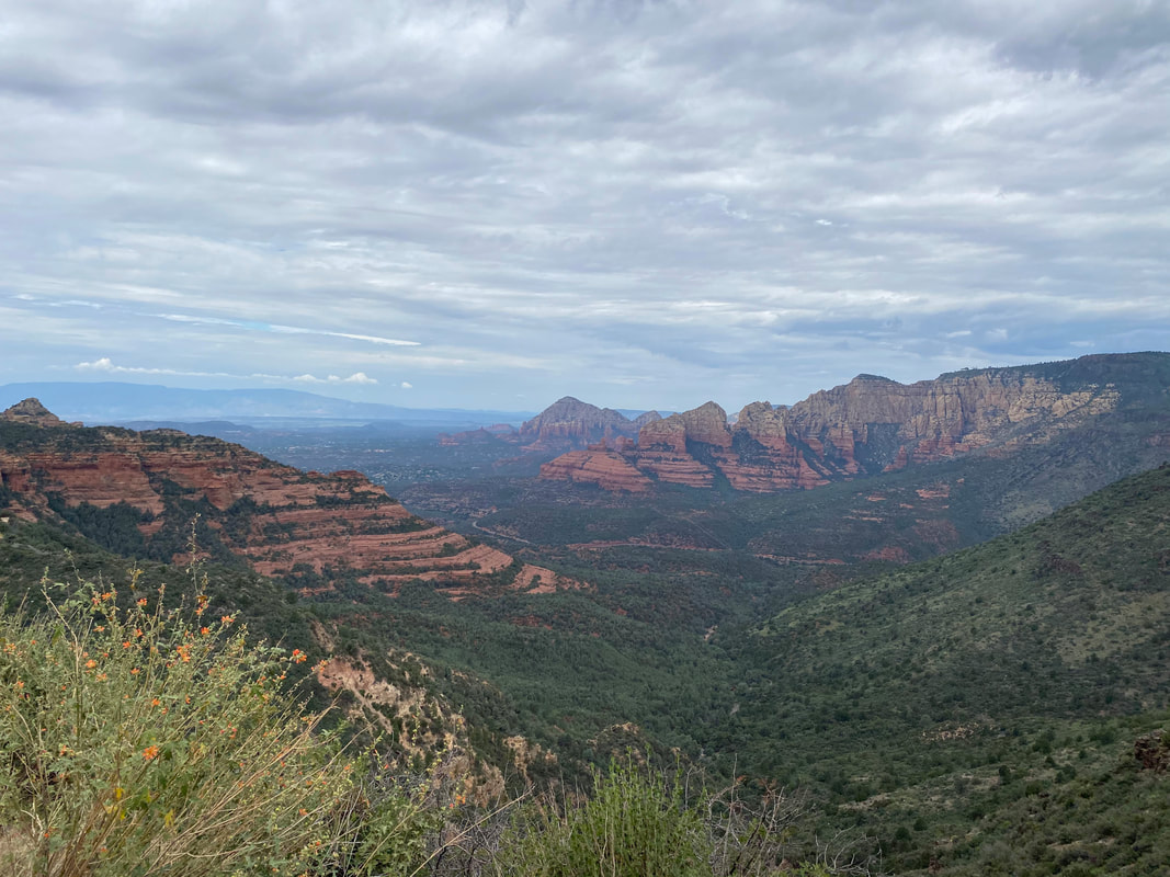
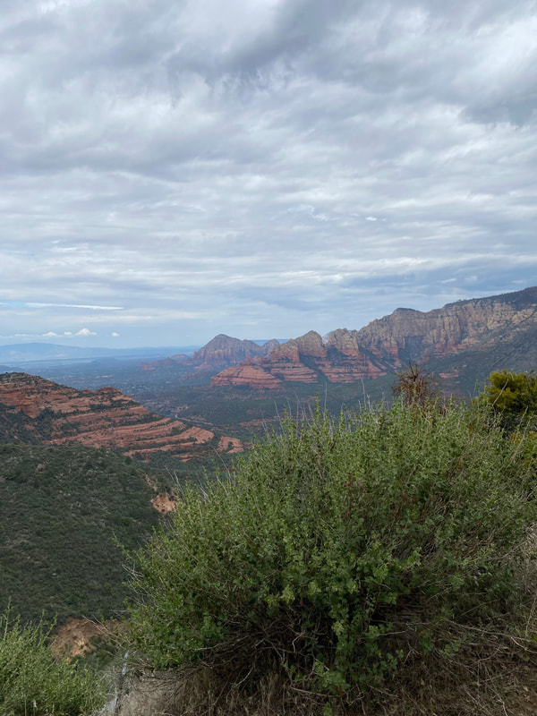
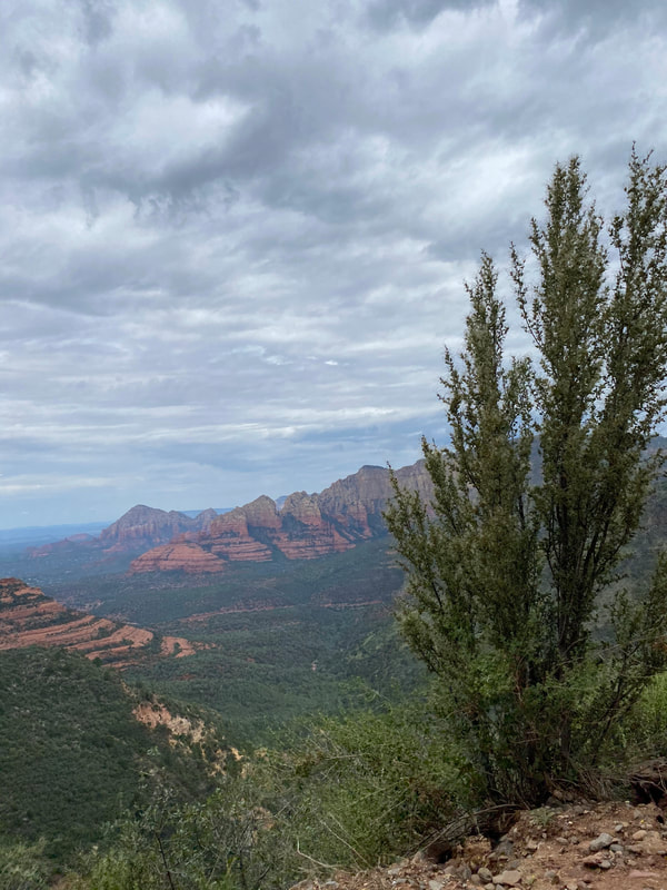
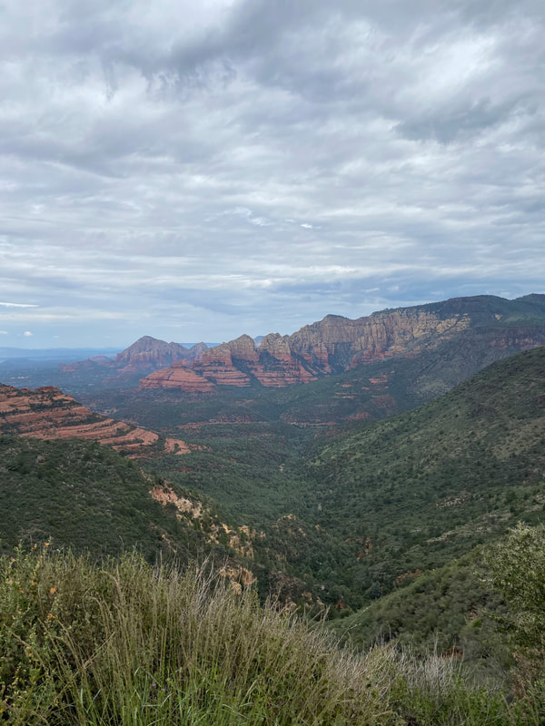
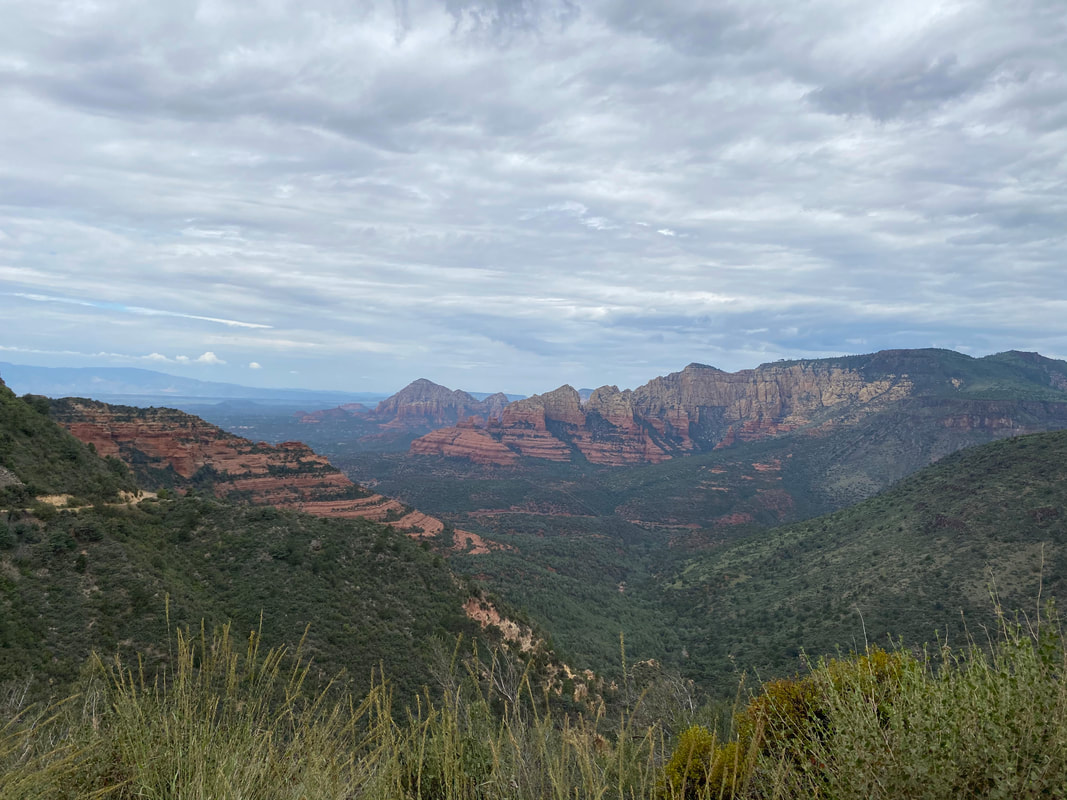
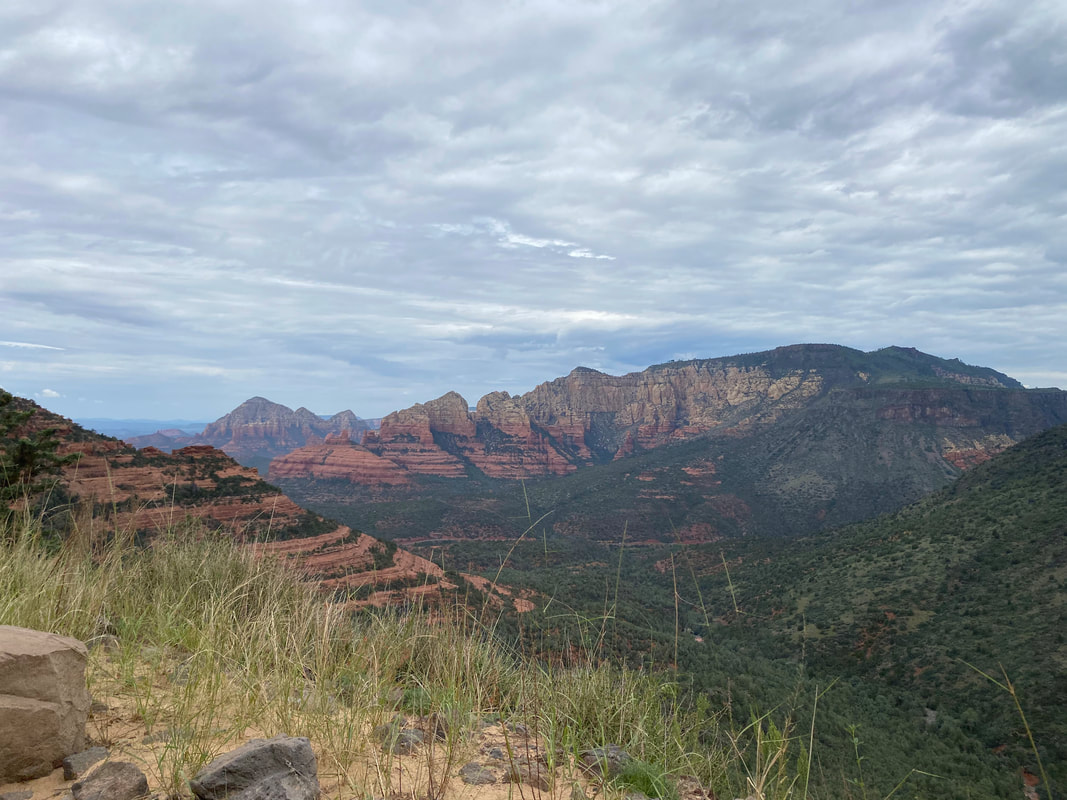
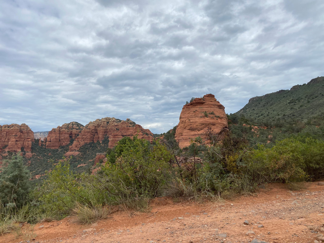
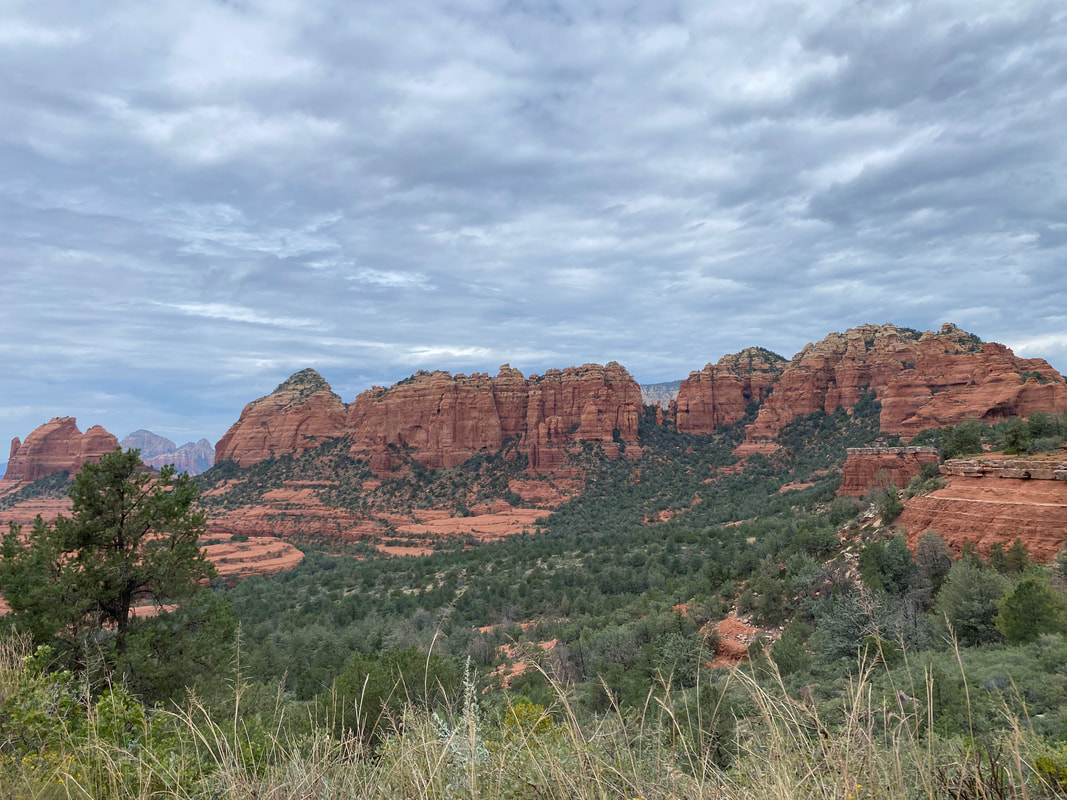
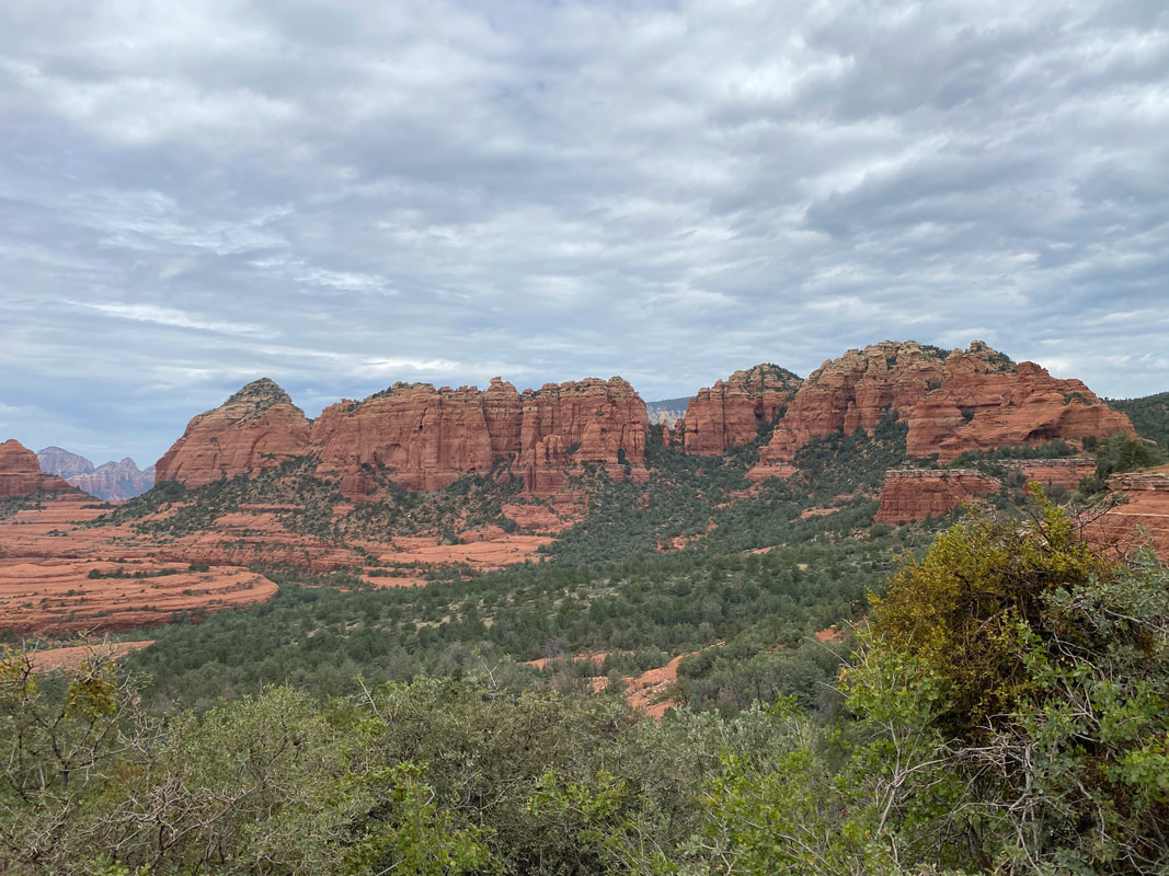
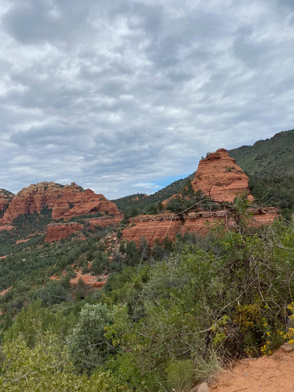
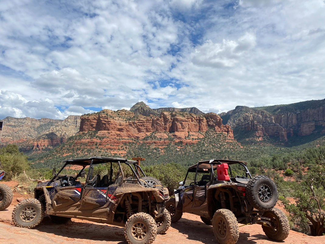
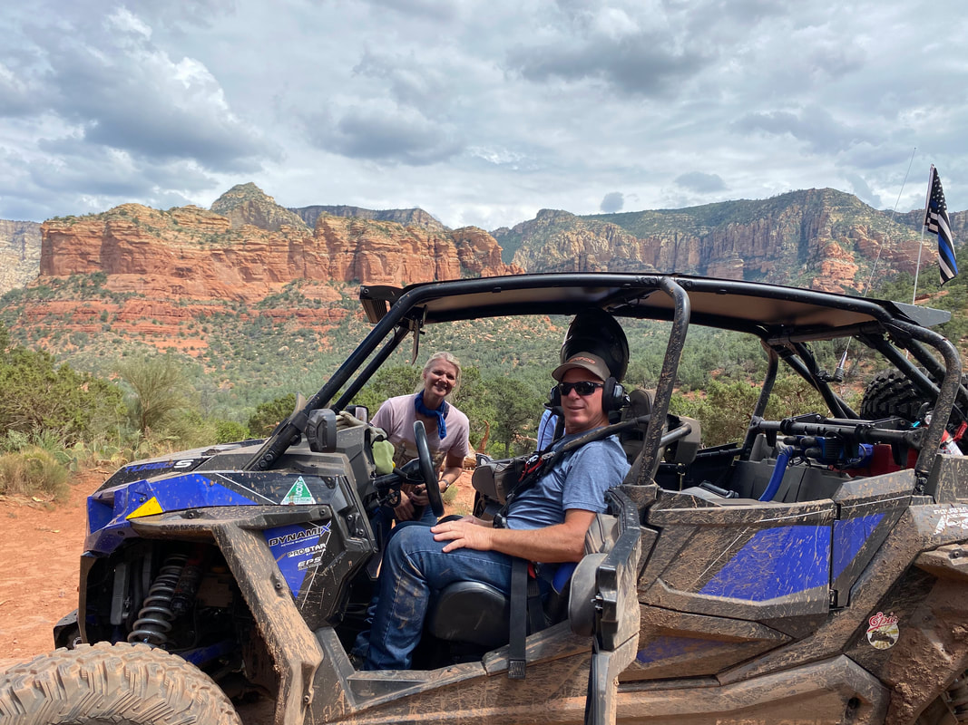
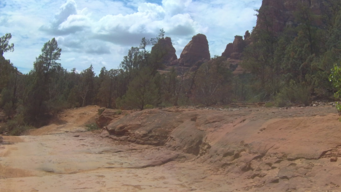
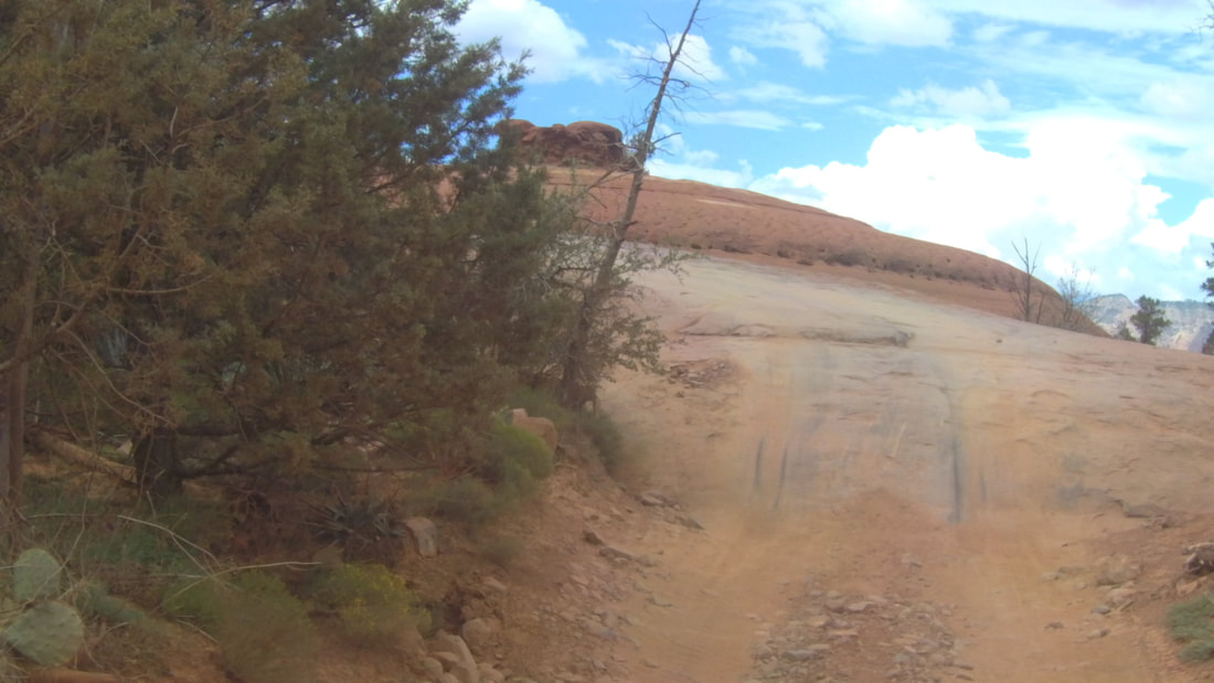
Schnebly Hill Road is named after T.C. Schnebly and starts out as a nice wide smooth dirt road that slowly makes it way through the forest climbing gently up into the mountains gaining about 2000 feet in elevation. After several miles the road turned northwest and we got our first view of the mountains around Sedona. We all stopped and took a long break to enjoy the view.
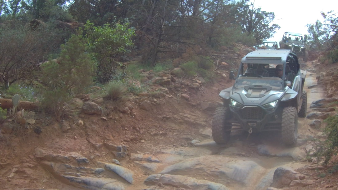
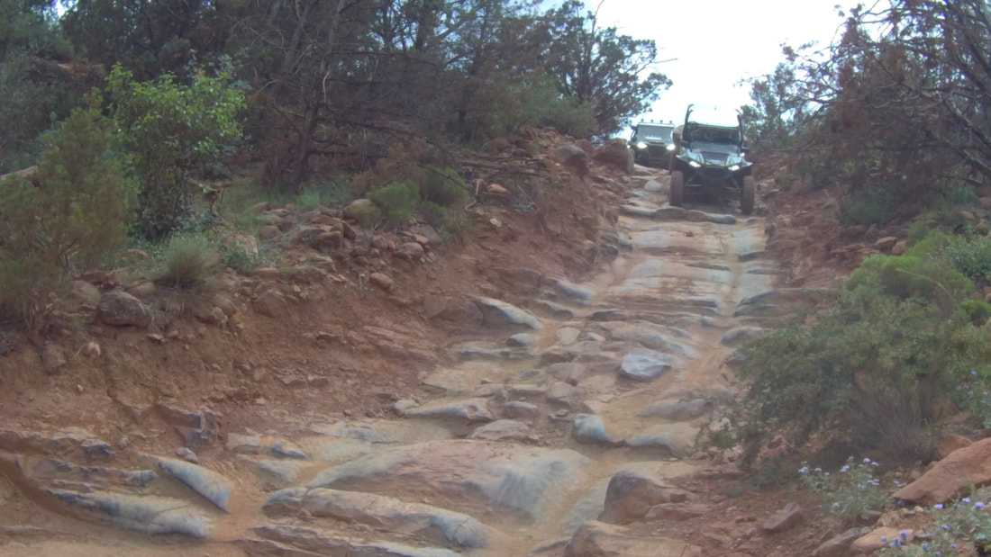
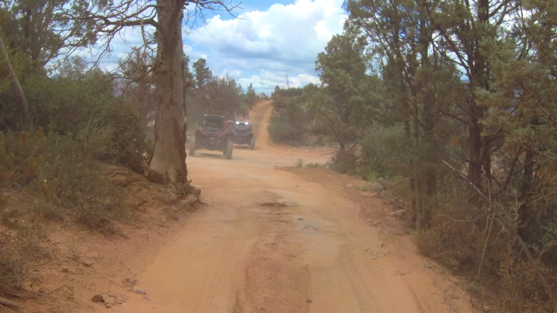
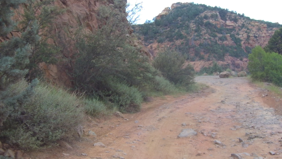
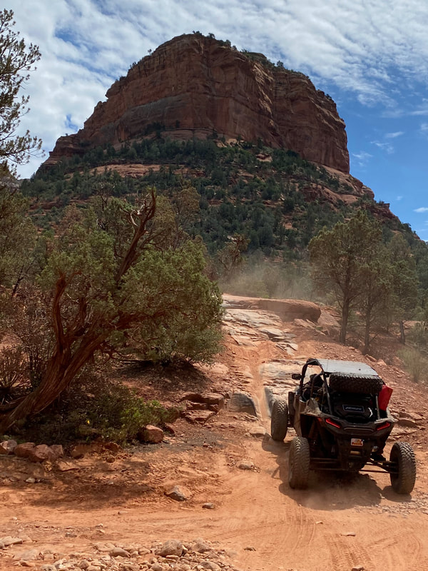
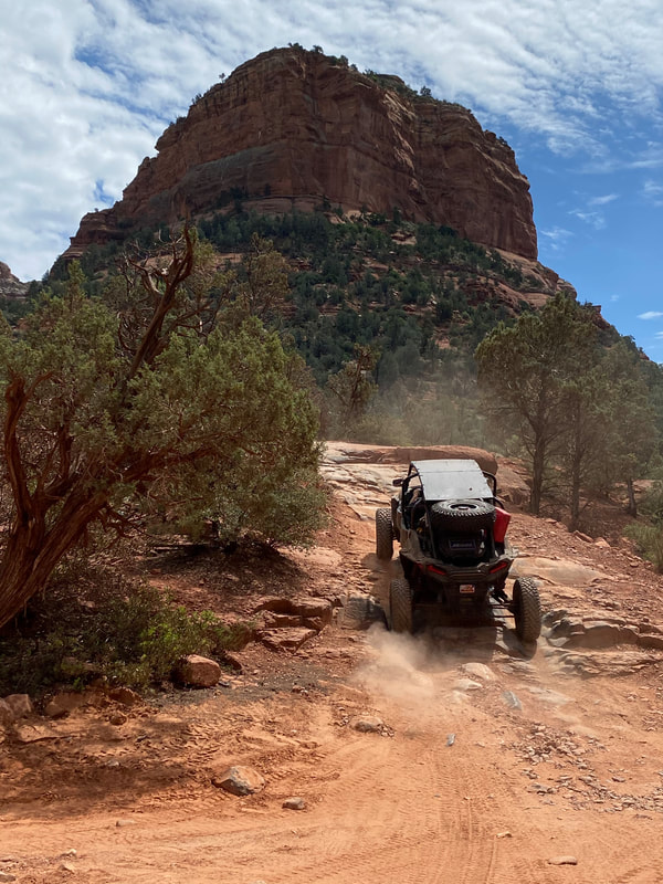
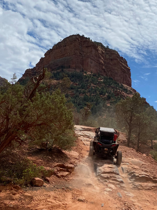
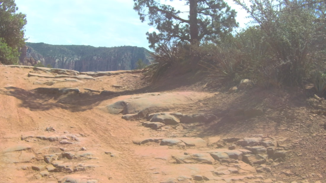
As we continued our climb, the road got significantly more rocky and a little narrower. While the rocks were not huge, there were a lot of obstacles that required navigation around or over. This slowed us down but since there was a new sight around just about every turn, I think everyone enjoyed the climb. Eventually we arrived at the top and stopped at the Huckaby Trail Head. After taking advantage of the restrooms and enjoying the view in all directions, we headed down into Sedona. |
|
|
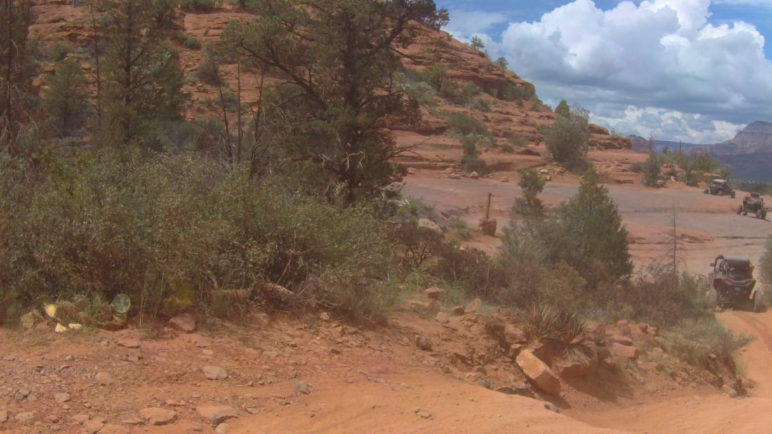
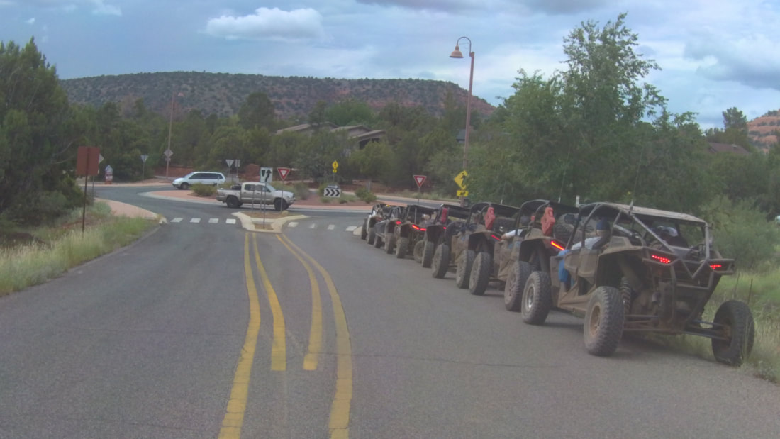
At the bottom of the hill, we took the round-about and headed south on SR 179. At the third round-about we took the Morgan Road exit and about 1/2 mile down Morgan Road we stopped to re-group. This did not please a local resident who complained that we were making too much noise. I got on the radio and asked everyone to turn off their engines but that didn't seem to please her much. She proceeded to take some pictures of us and was happy when we continued onto the Broken Arrow trail.
|
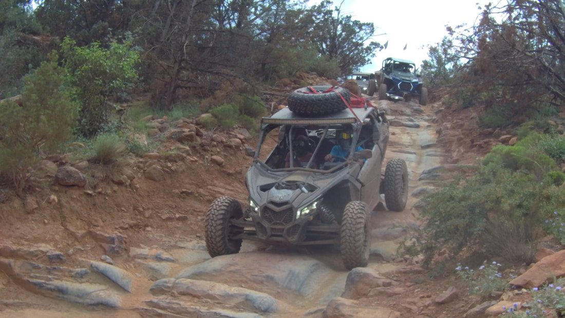
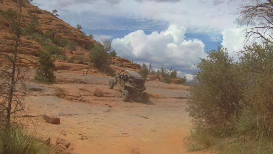
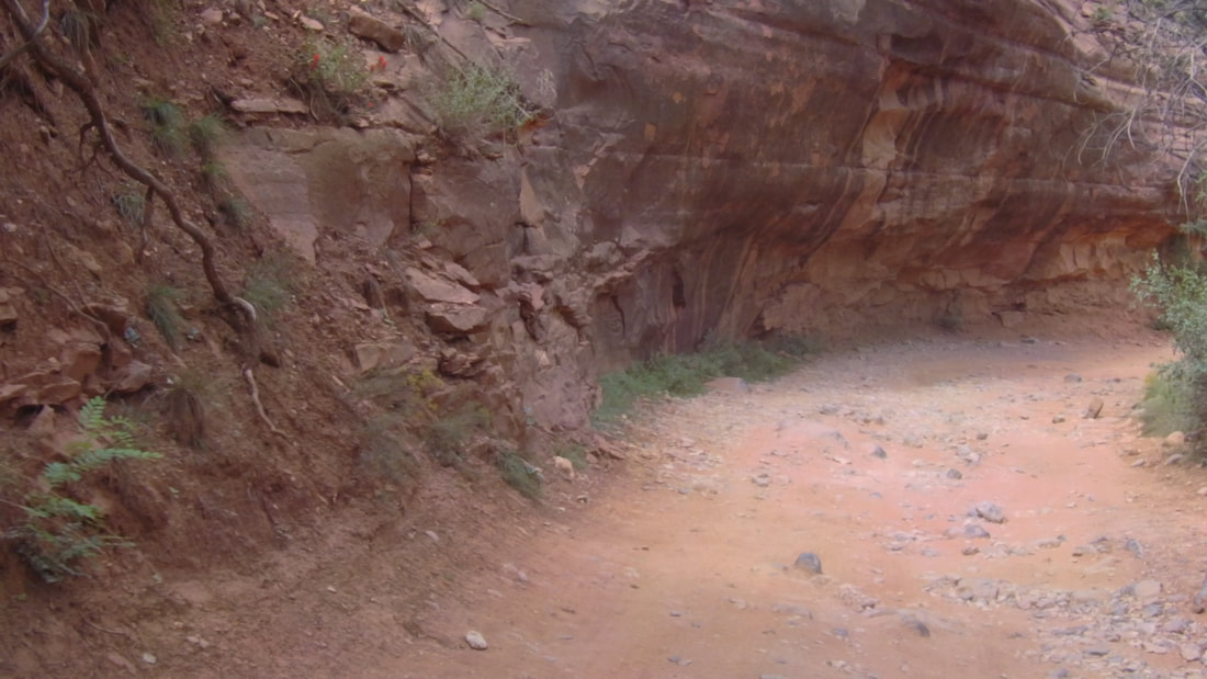
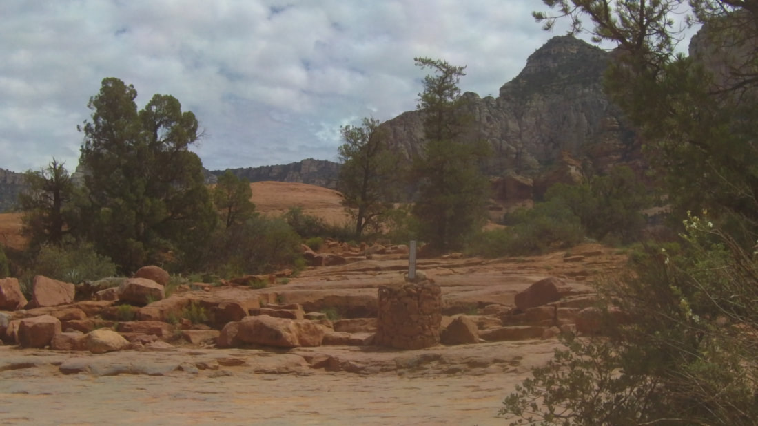
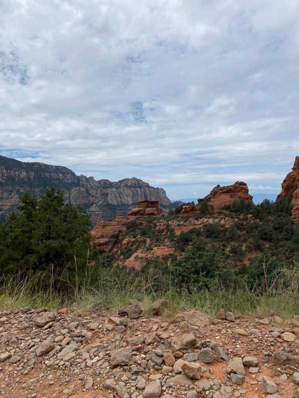
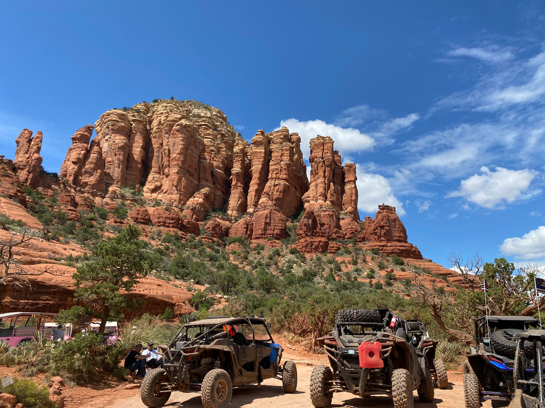
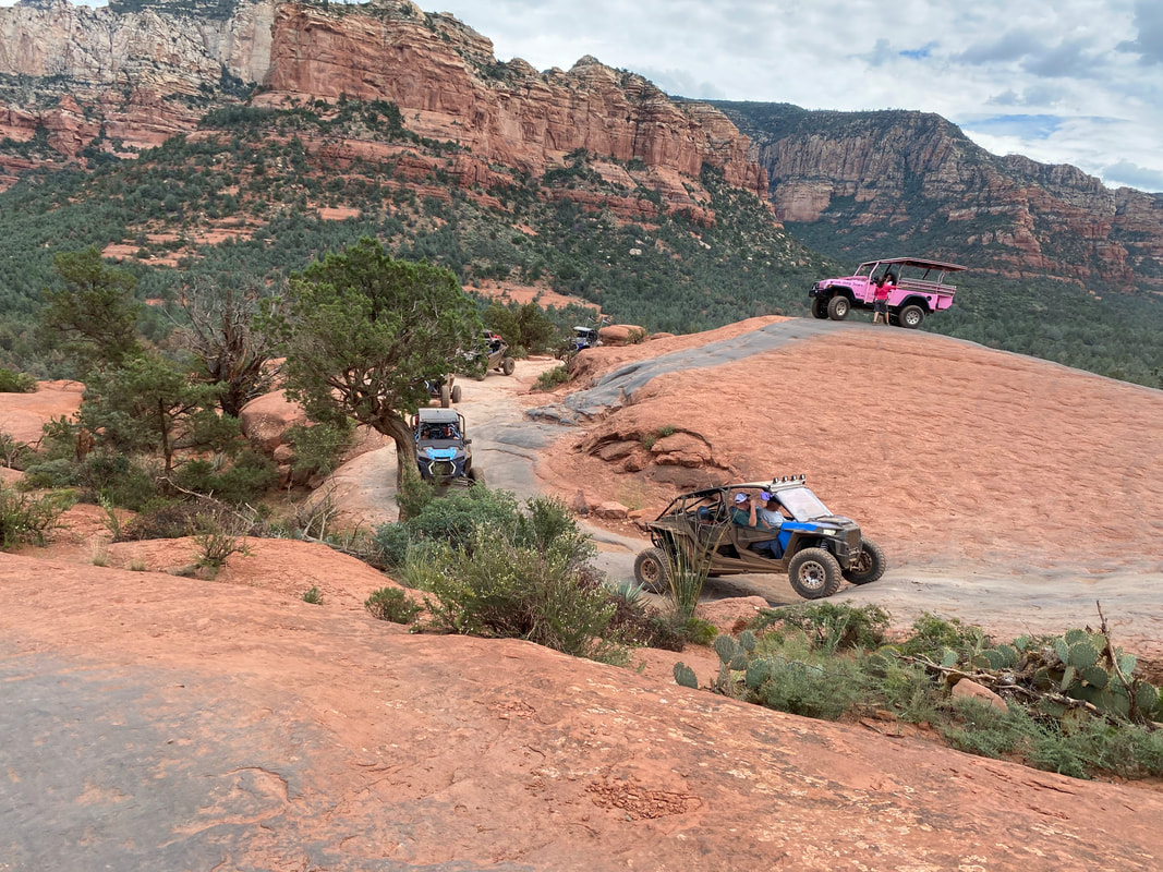
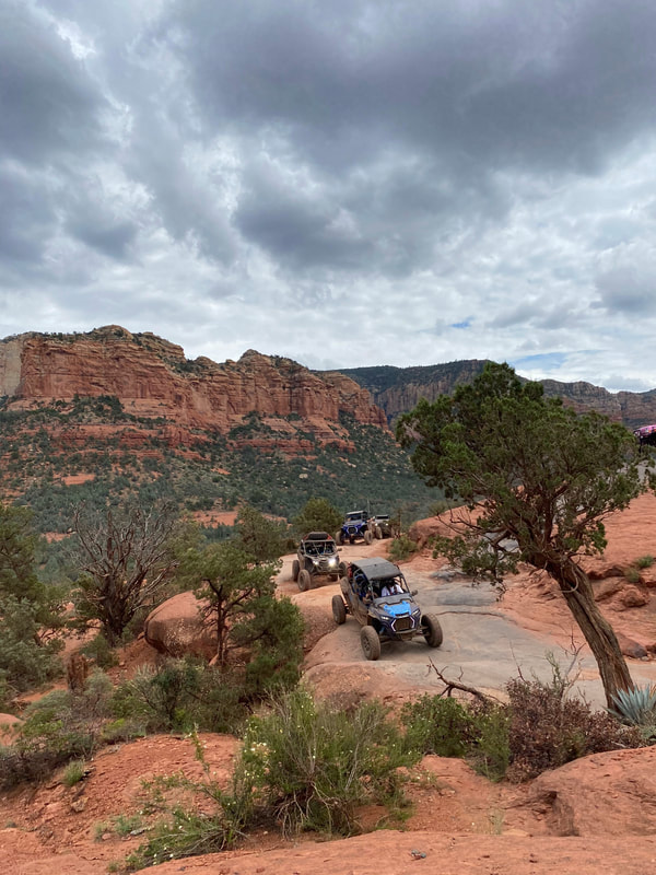
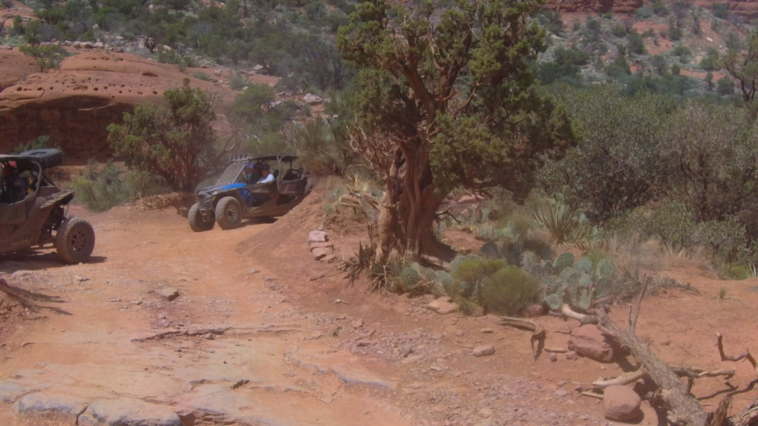
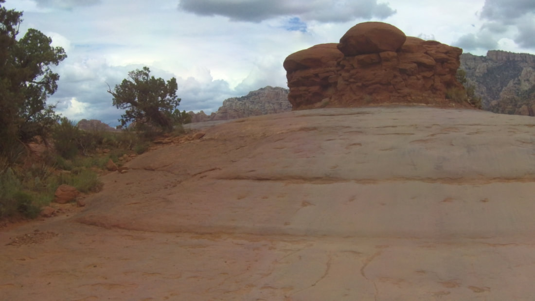
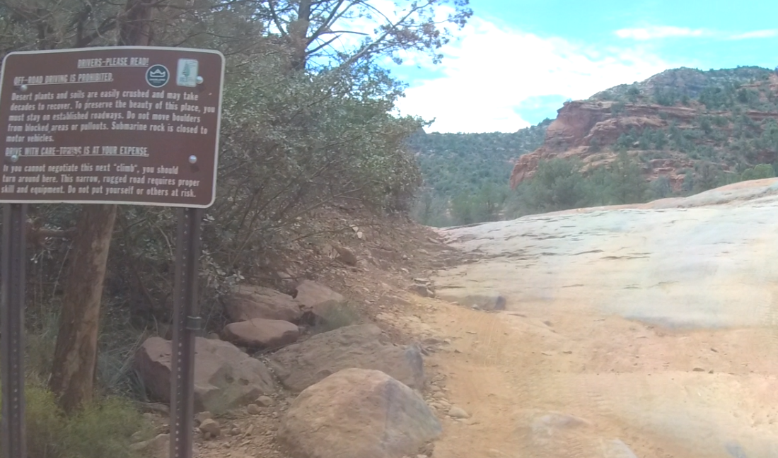
After traveling a short distance down the trail, we all climbed up a small ledge and onto the slick rock. I got out to video everyone and then realized that everyone had continued down the trail without their leader. Soon they moved over to the right and I was able to pass everyone and continue guiding them up the trail. The first stop was at Submarine Rock.
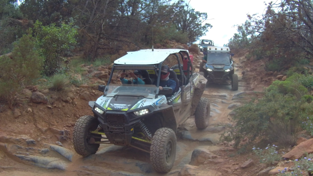
This was the first somewhat difficult area of the trail and required everyone to climb up a steep section of slick rock. We all made it up and I stopped as close to Submarine Rock as possible to limit the climbing necessary to get to the top and enjoy the views. We all got out and walked around for about 25 minutes then it was back on the trail and the climb up to Chicken Point.
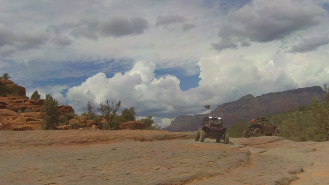
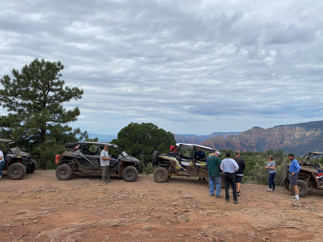
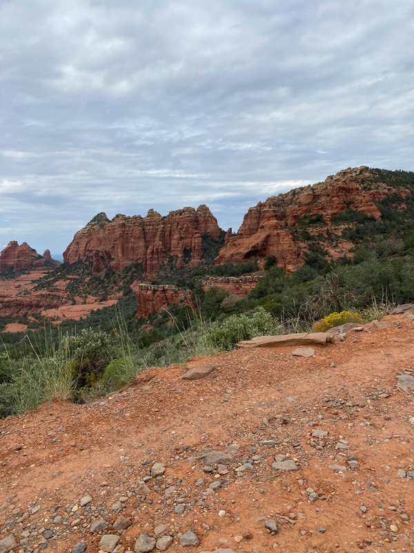
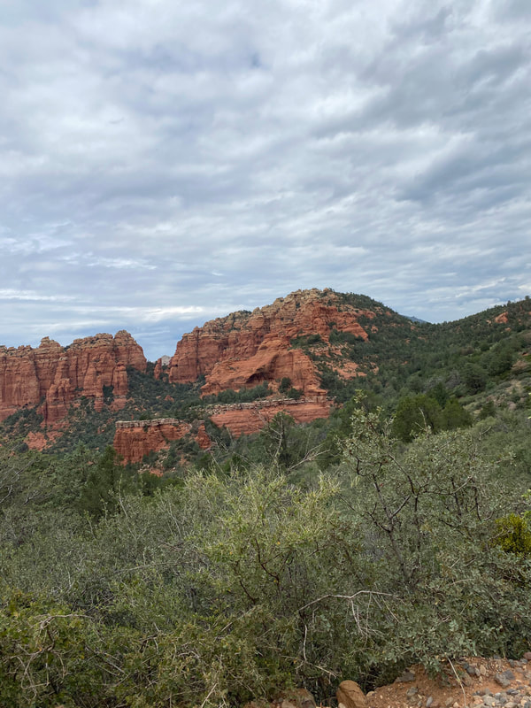
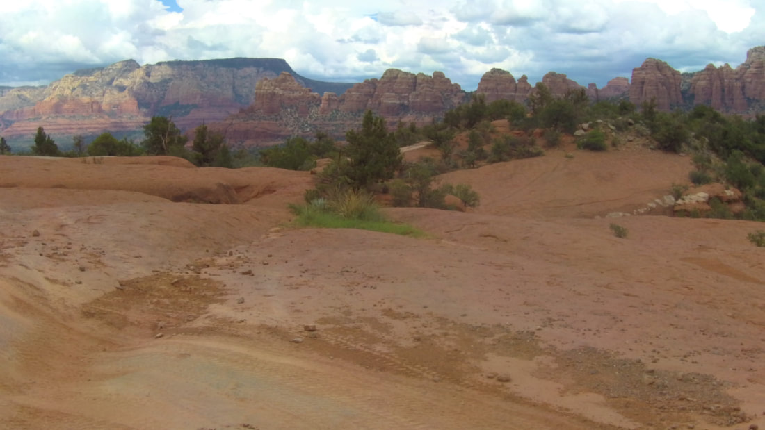
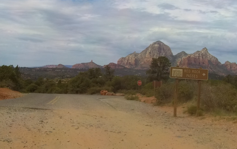
The trail was now narrow and twisty with several small sections of slick rock. When we arrived at the top, there were a couple of Pink Jeeps but plenty of room for all of us to park. This was the lunch stop for today's adventure. Some of the group went exploring and hiked down into a small canyon to see more of the many sights in this area.
Chicken Point got its name because you used to be able to drive around the rock and if you were smart enough not to take that challenge, you were called a chicken. Today that option no longer exists because they have blocked the way out to the point.
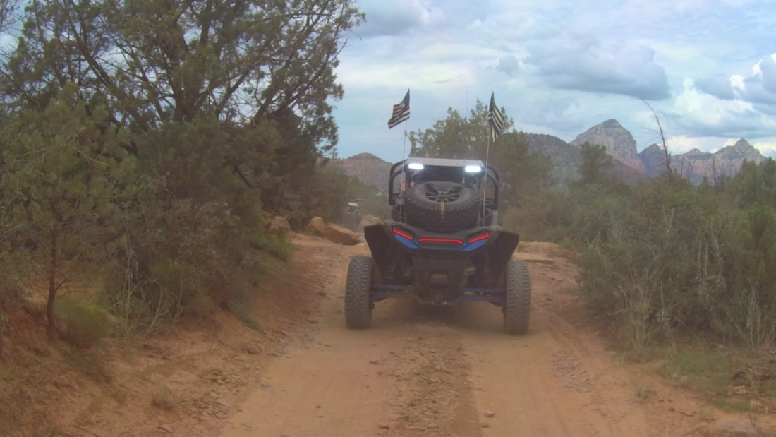
After lunch we headed back down since this was the end of the trail. The way down is mostly a different route then the way up and has more sections of slick rock. We soon caught up with the Pink Jeeps and I let them get a little ahead of us since they travel pretty slow in order to keep their passengers from flying out.
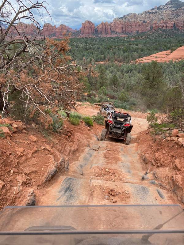
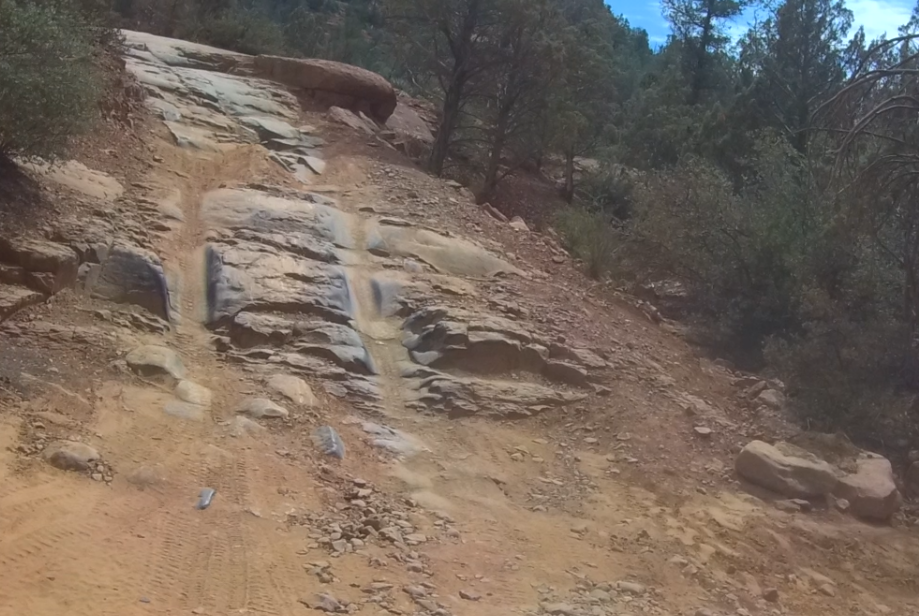
The last challenging section of the trail was the Devils Staircase. After I made my way down, I turned around to capture the group on video descending this section of the trail. I told John as he passed to just follow the Pink Jeeps out and back onto Morgan Road.
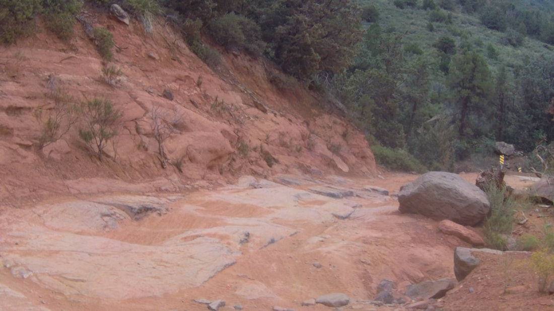
This gave me a chance to "enjoy" the view from the back and eat a little bit of dust. We regrouped at the bottom of the road and took SR 179 to Schnebly Road and down the rocky east side. During my pre-run I checked out a few side trails and managed to break
The last challenging section of the trail was the Devils Staircase. After I made my way down, I turned around to capture the group on video descending this section of the trail. I told John as he passed to just follow the Pink Jeeps out and back onto Morgan Road.
This gave me a chance to "enjoy" the view from the back and eat a little bit of dust. We regrouped at the bottom of the road and took SR 179 to Schnebly Road and down the rocky east side. During my pre-run I checked out a few side trails and managed to break
my rack-n-pinon on a rocky section of FR 153A. After removing my front tire and digging through my many spare parts, I was able to get the steering to work enough to limp back to Mormon Lake. This required that I rent a SxS for the remainder of the trip.
Since I am a slow learner, I decided to take the group down this way which would eliminate having to backtrack down Schnebly Hill Road. My first attempt was taking the wrong trail so I turned everyone around and went down another mile or so until I found the correct trail. It was starting to rain lightly and we stopped in the trees for a short break. After continuing down I managed to get on FR 9499G and had to turn around (again). The trail turned north and while I wanted to take FR 801, I missed that turn and ended up on FR 9499F which took us back onto Schnebly Hill Road about a 1/2 mile higher than where we would have come out if we had taken FR 801. We regrouped again and headed down towards the 17 freeway.
Since I am a slow learner, I decided to take the group down this way which would eliminate having to backtrack down Schnebly Hill Road. My first attempt was taking the wrong trail so I turned everyone around and went down another mile or so until I found the correct trail. It was starting to rain lightly and we stopped in the trees for a short break. After continuing down I managed to get on FR 9499G and had to turn around (again). The trail turned north and while I wanted to take FR 801, I missed that turn and ended up on FR 9499F which took us back onto Schnebly Hill Road about a 1/2 mile higher than where we would have come out if we had taken FR 801. We regrouped again and headed down towards the 17 freeway.
We continued east on FR 226 then FR 228 since we wanted to get back before the rain started again. I decided to head north and get on FR 240 which is a smooth gravel and dirt road that would take us back to Mormon Lake. We took side trail FR 90H and stopped for a quick mechanical check. After confirming that all the vehicles were OK, we headed north of this rocky trail eventually dropping onto FR 240 and then cruised east until it ended at SR 209. Everyone made a right turn and made it back to camp.
| day_2_-_mormon_lake_lodge_to_sedona.gpx |