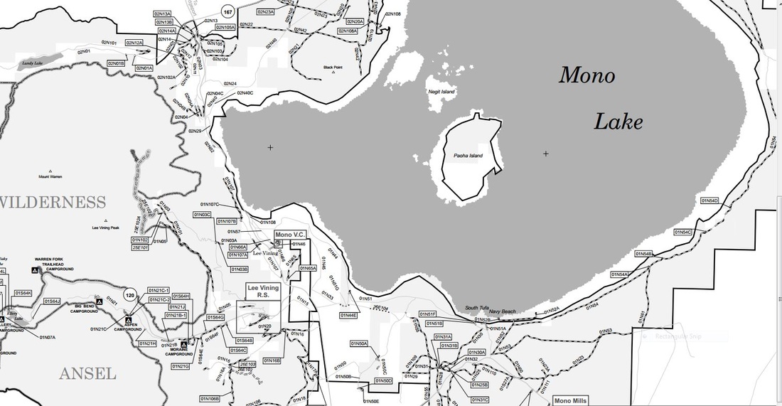
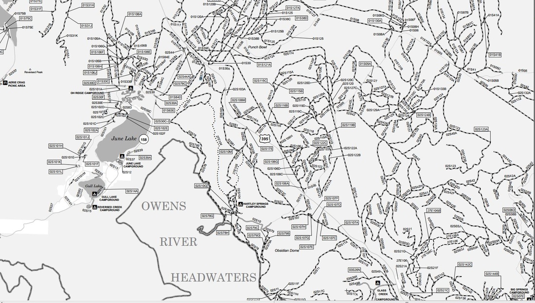
GPS Files
The files below include GPS tracks and waypoints associated with the geographic area referenced in the file name. Many of these are my tracks the rest were collected from friends and owlsheadgps. I have provided them in the popular GPX format. Clicking on the link will download the file to your local computer. The "all" GPS files only include tracks for the approved trails in each area. Other "adventure" tracks are rides that occurred within that area. Remember that I have not ridden all these tracks so you may experience various degrees of difficulty and dead-ends or closures. Please be responsible and stay only on open (marked) trails and roads except in clearly posted "Open Areas".
For additional locations check out my Meetup site Valley Dirt Riders.
For those riders that want to make their own routes, I recommend you subscribe to the California Trail Map. Lee does a great job of updating the trails on a regular basis.
If you contact me directly, I will be happy to provide you easy or intermediate routes in any of these areas.
|
These are the GPS files for my MeetUp groups I included several alternative routes in case anyone wants to explore on their own.
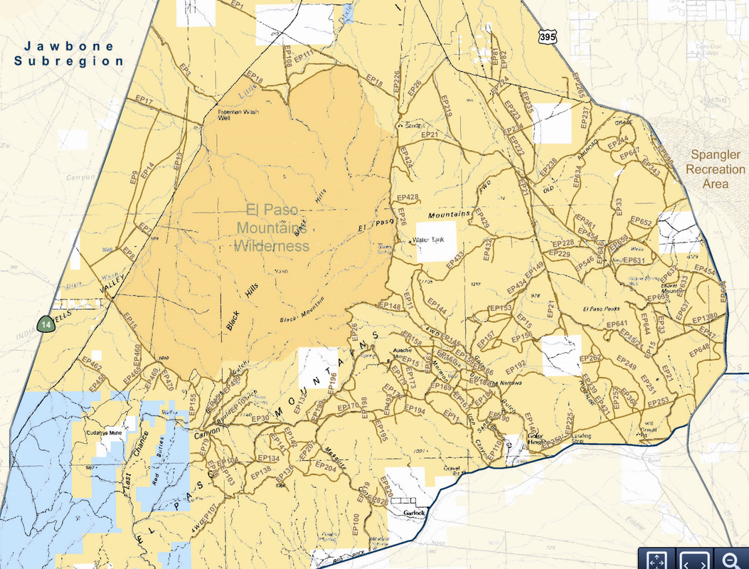
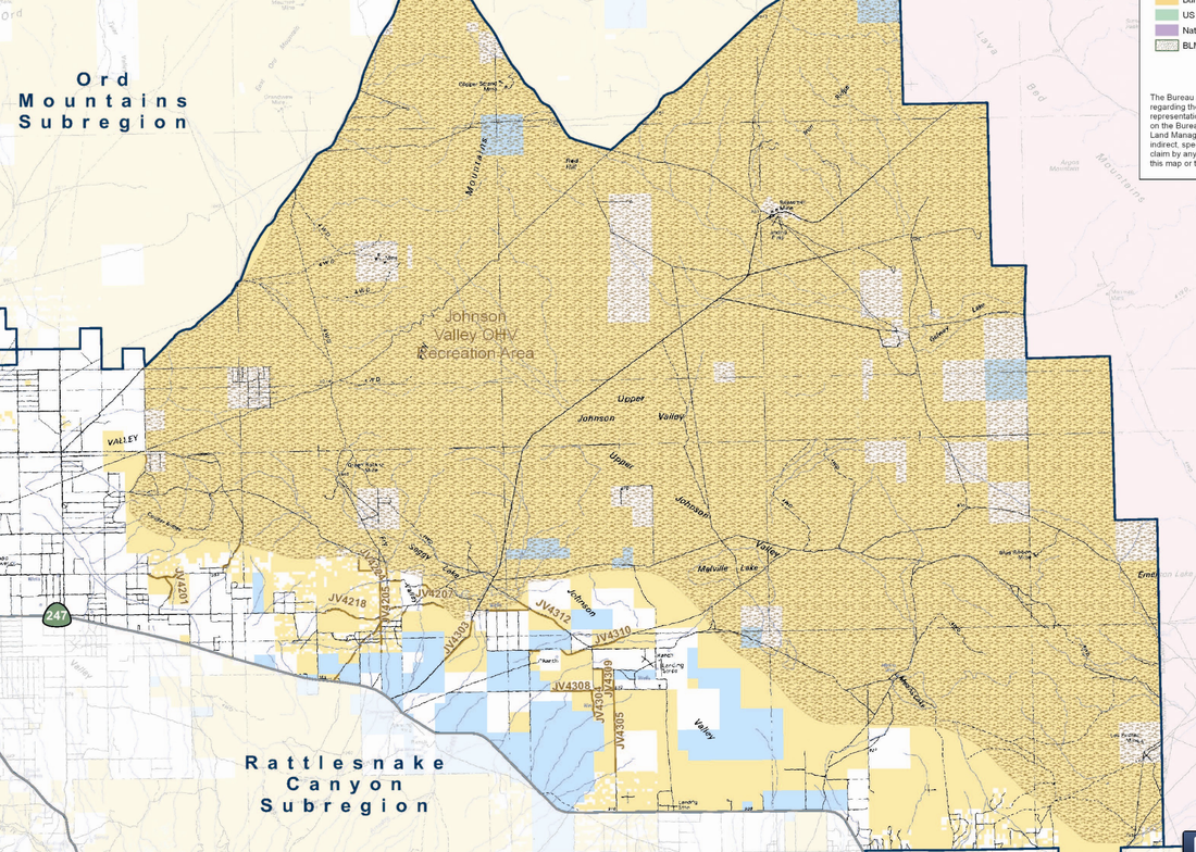
El Paso mountains
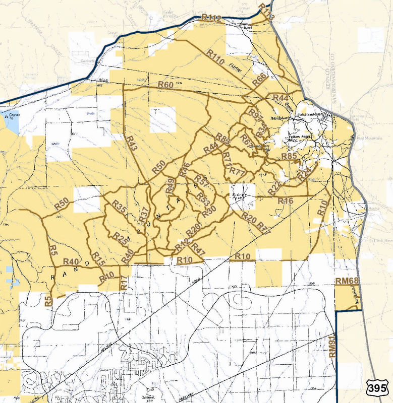
Red Mountain
Fremont Peak
Rand Mountains
Spangler Hiils
Dove Springs
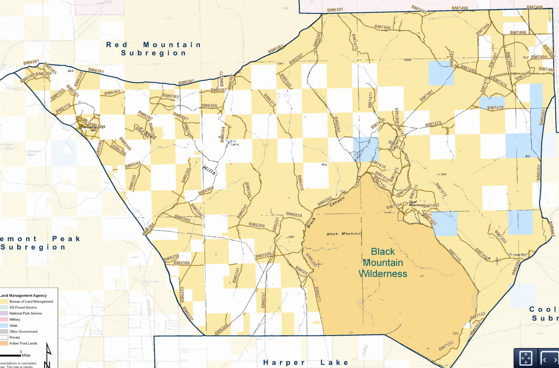
Black Mountain
Ridgecrest
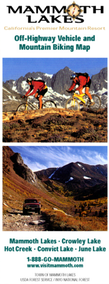
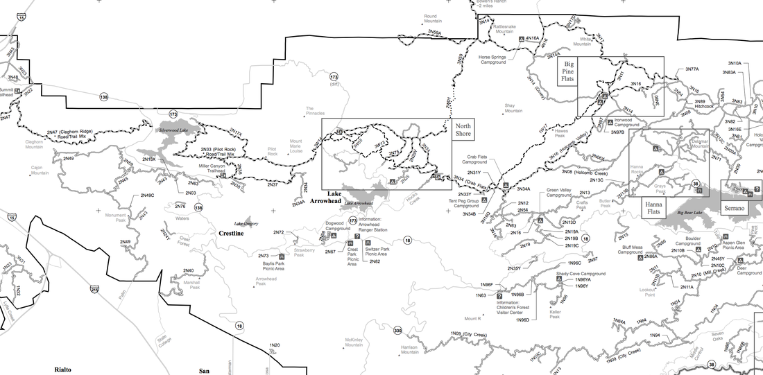
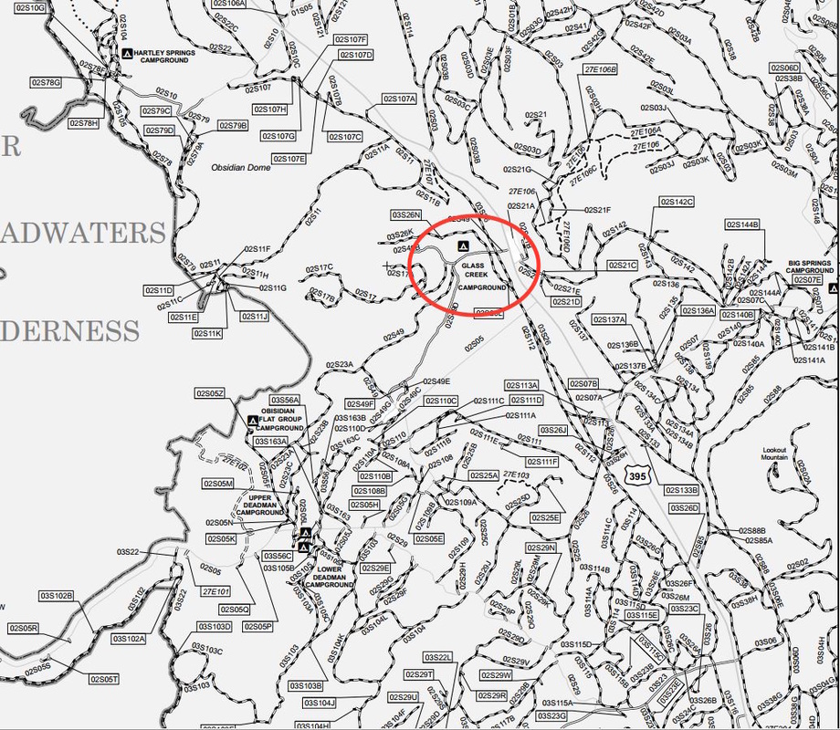
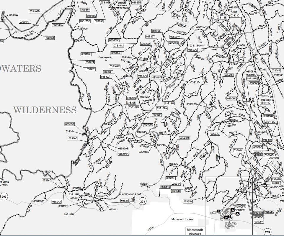
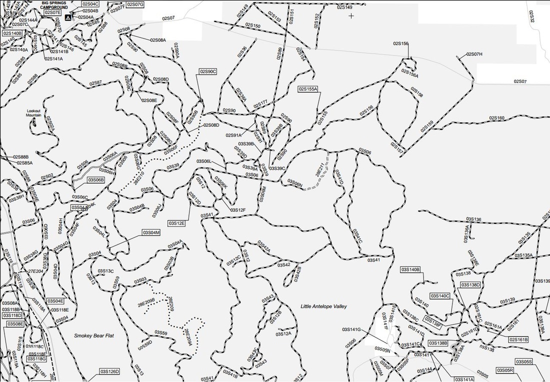
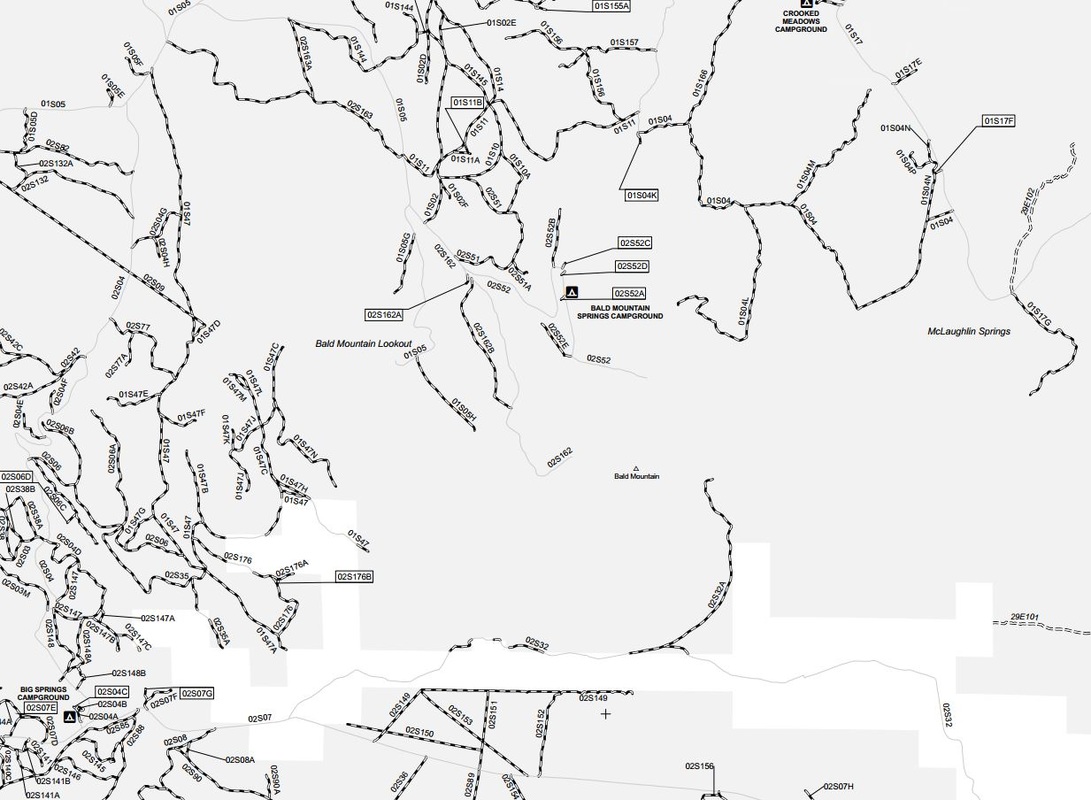
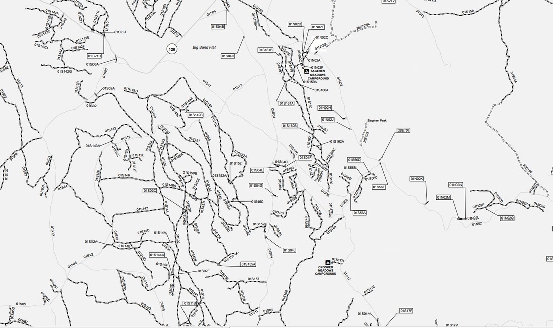
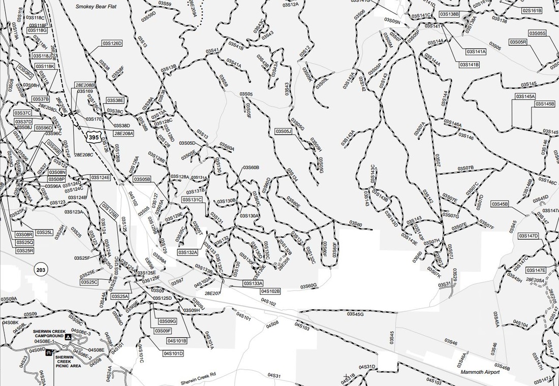
Mammoth Lakes Loops
For additional information on some of the Mammoth OHV loops, check out this site.
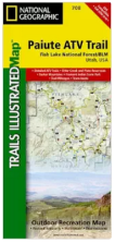
Paiute Trail
Tonka Town
Alabama Hills
Cerro Gordo
Reward Mine
Rademacher Hills / Trona Pinnacles RIde
|
Maps
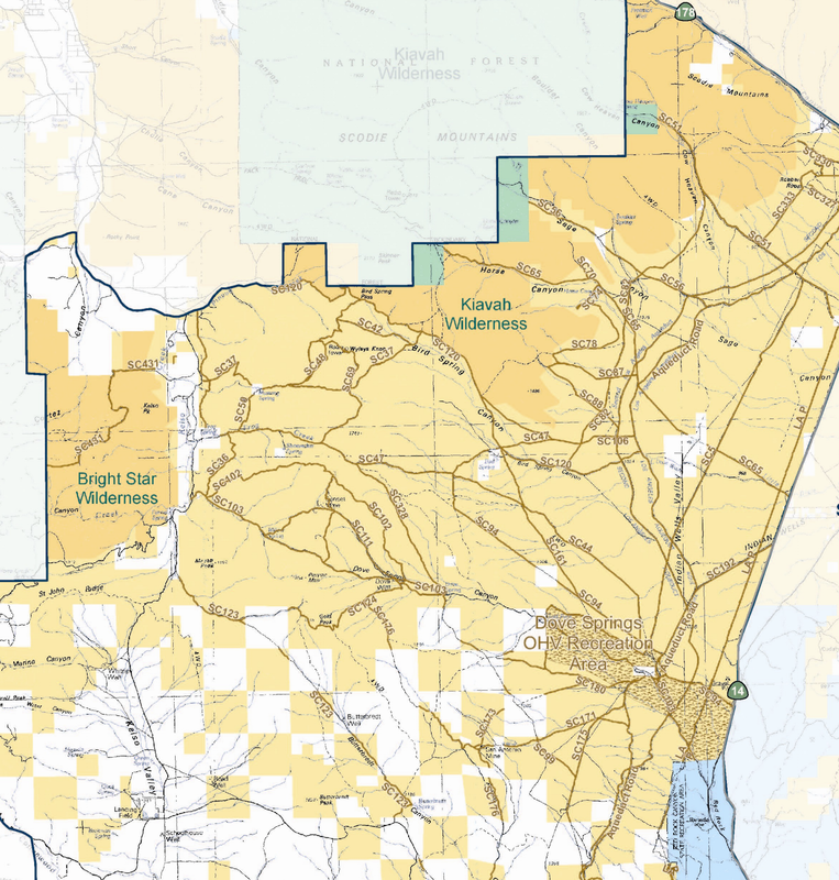
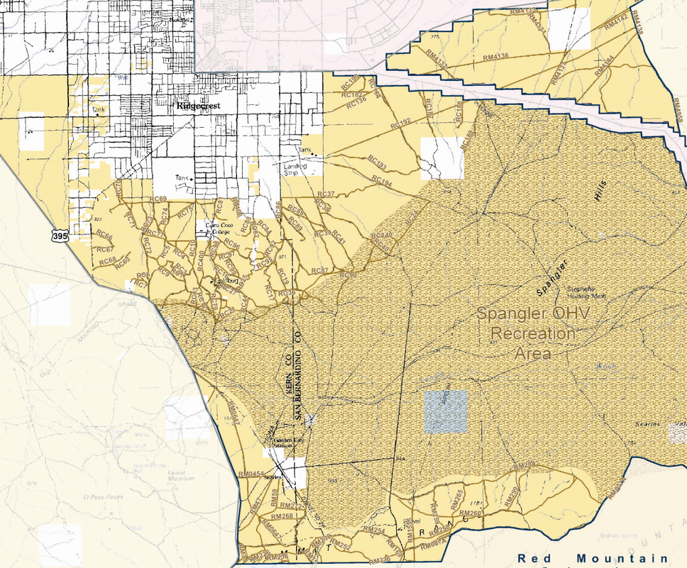
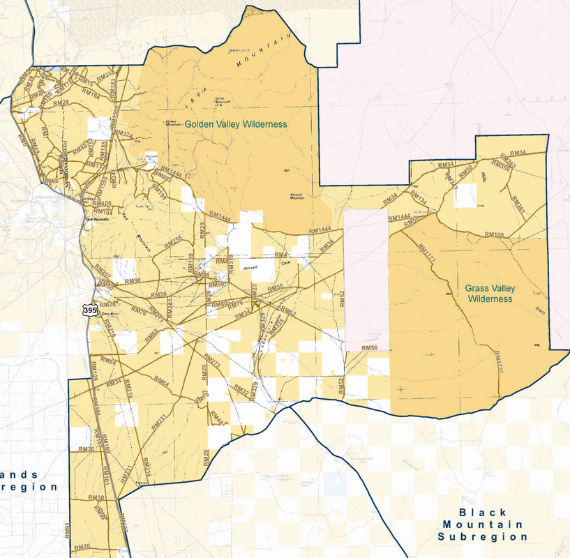
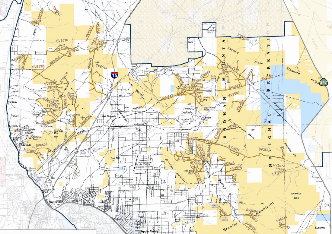
Dove Springs Trail Map
| ||||||||||||||||||||||||||||||||||||