Coconino National Forest & Sedona UTV Adventure
Day 3
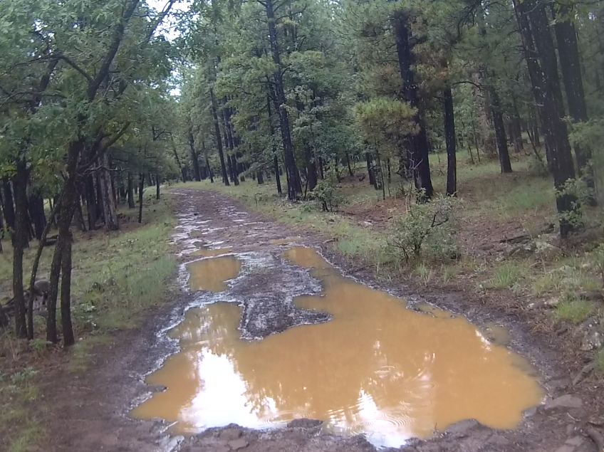
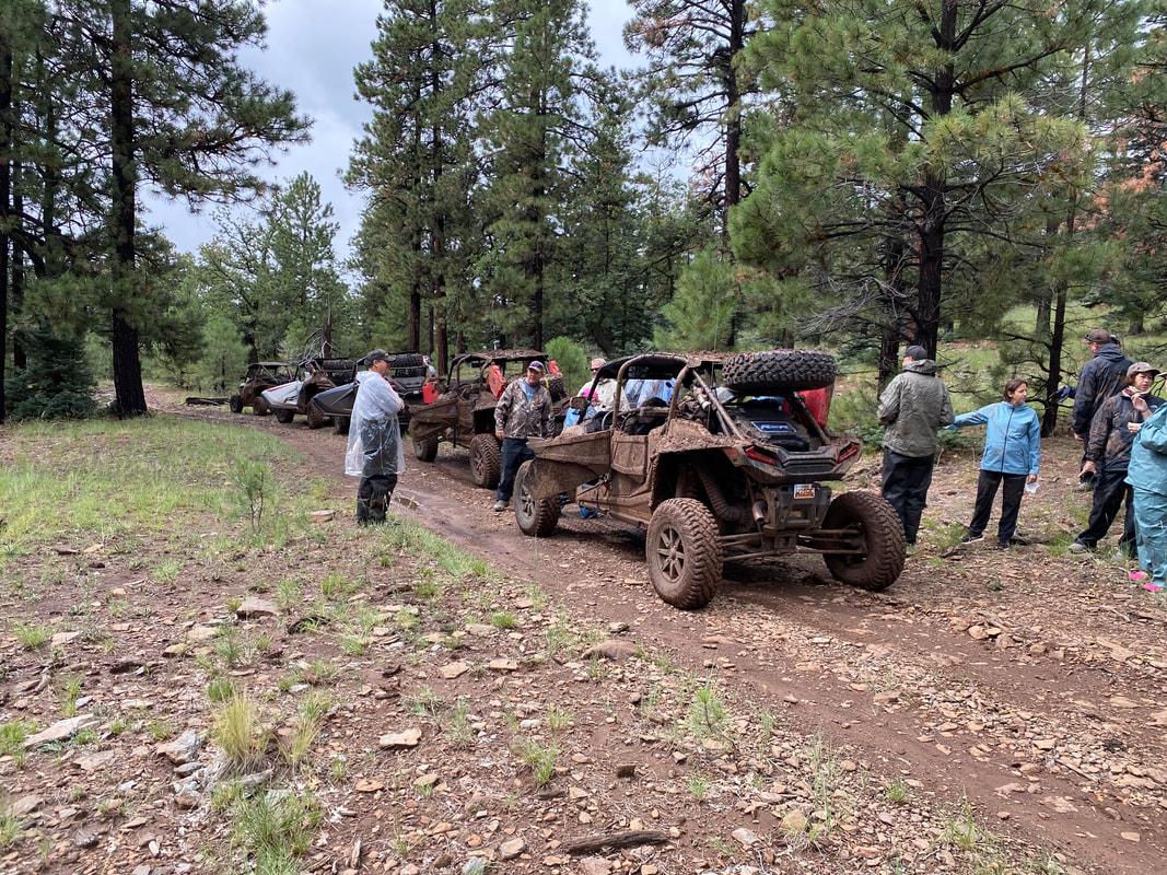
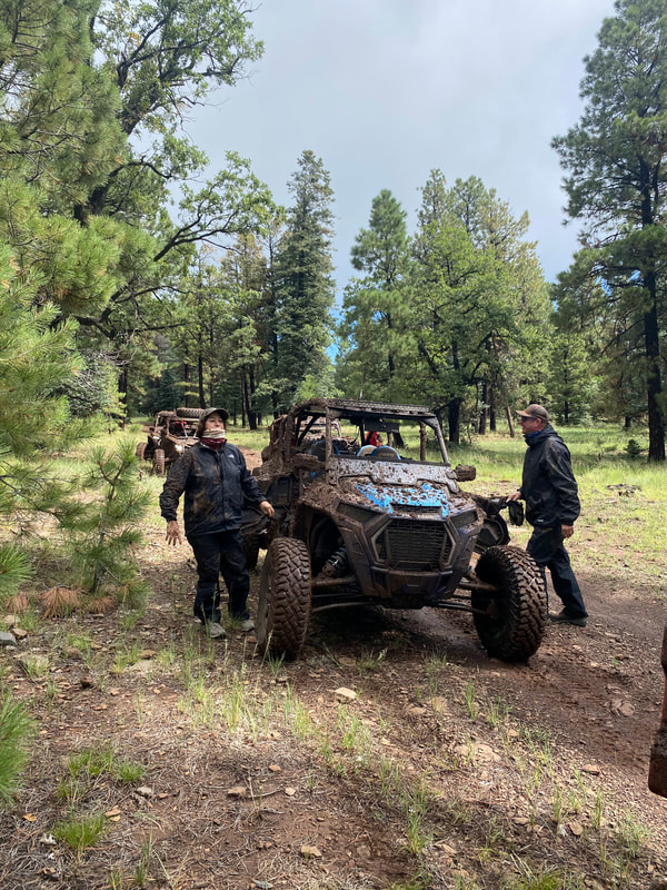
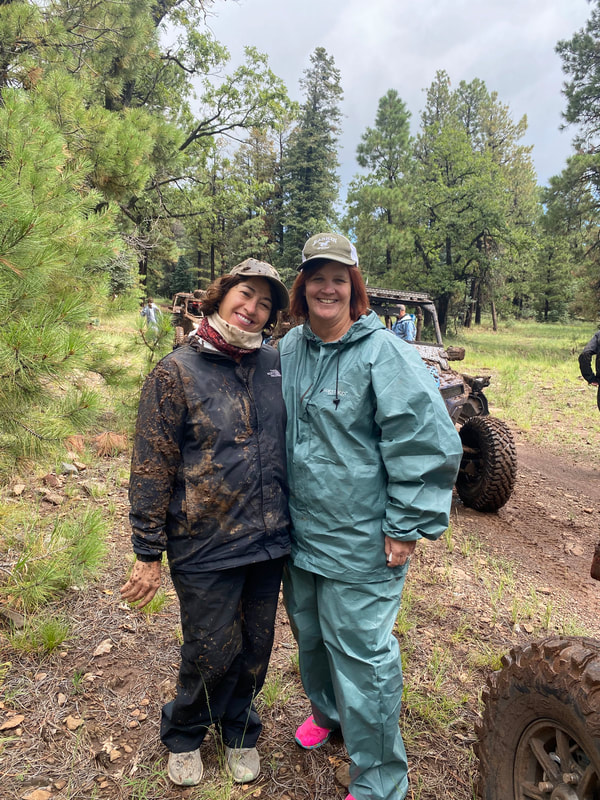
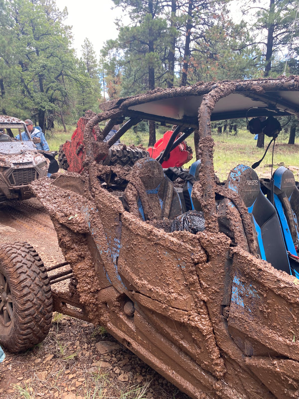
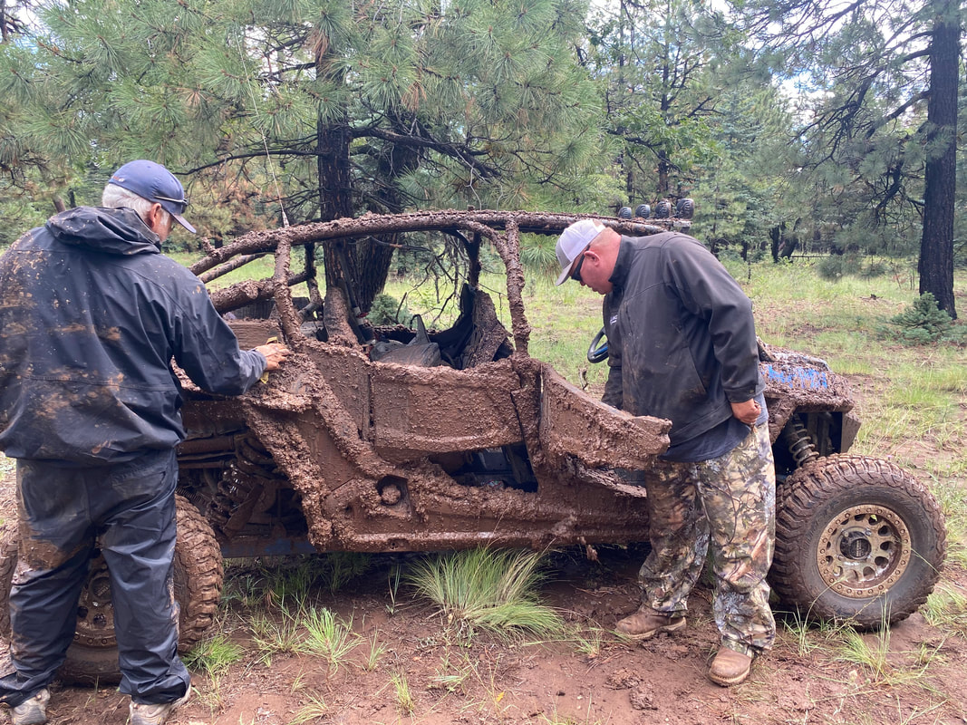
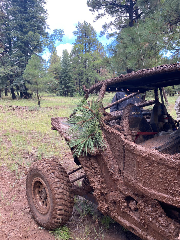
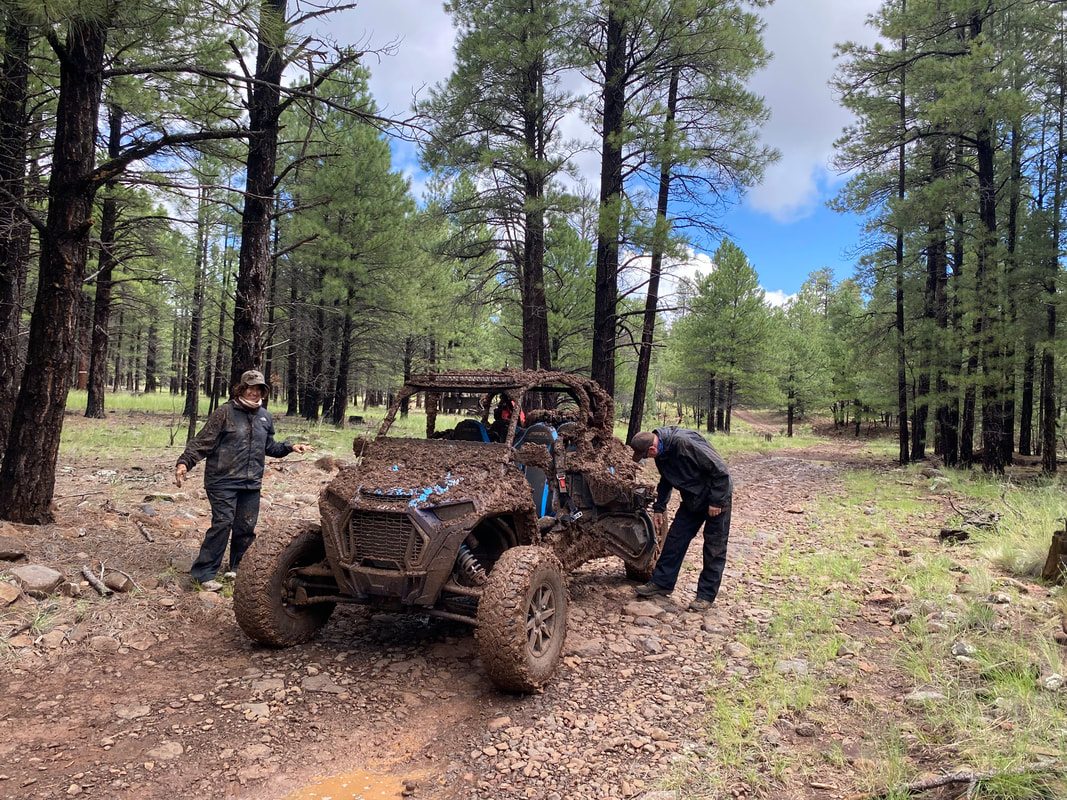
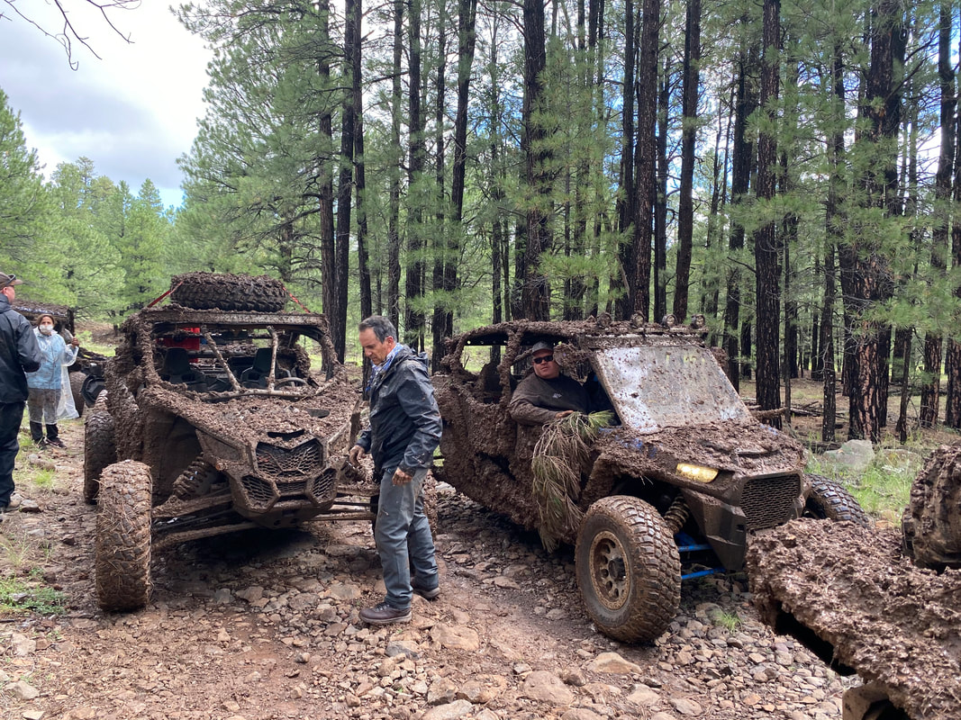
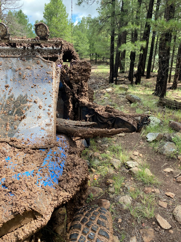
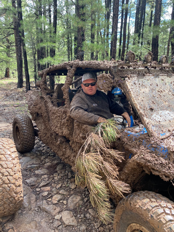
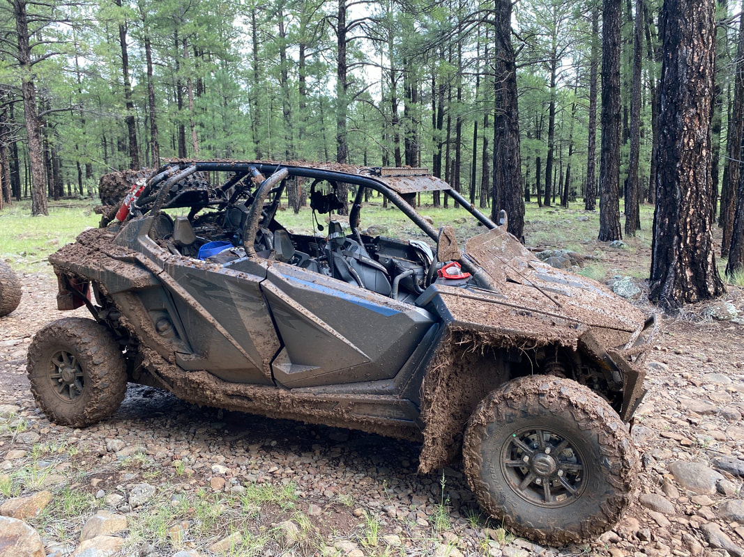
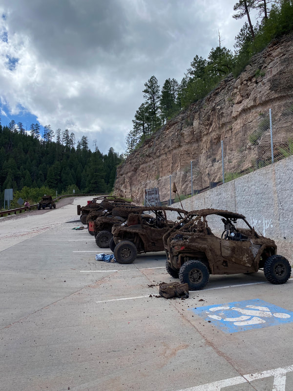
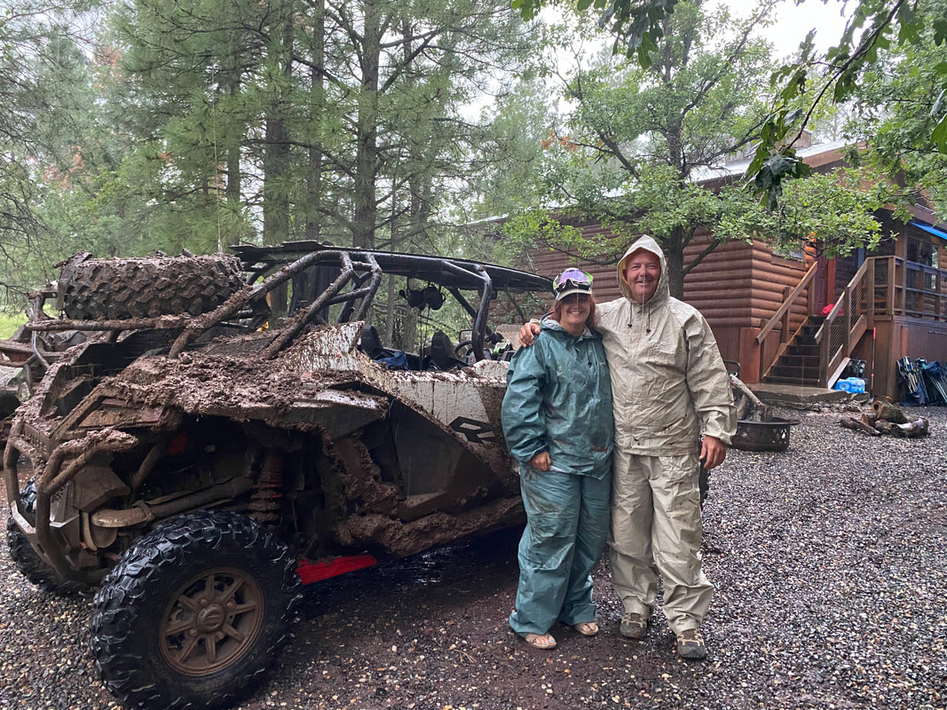
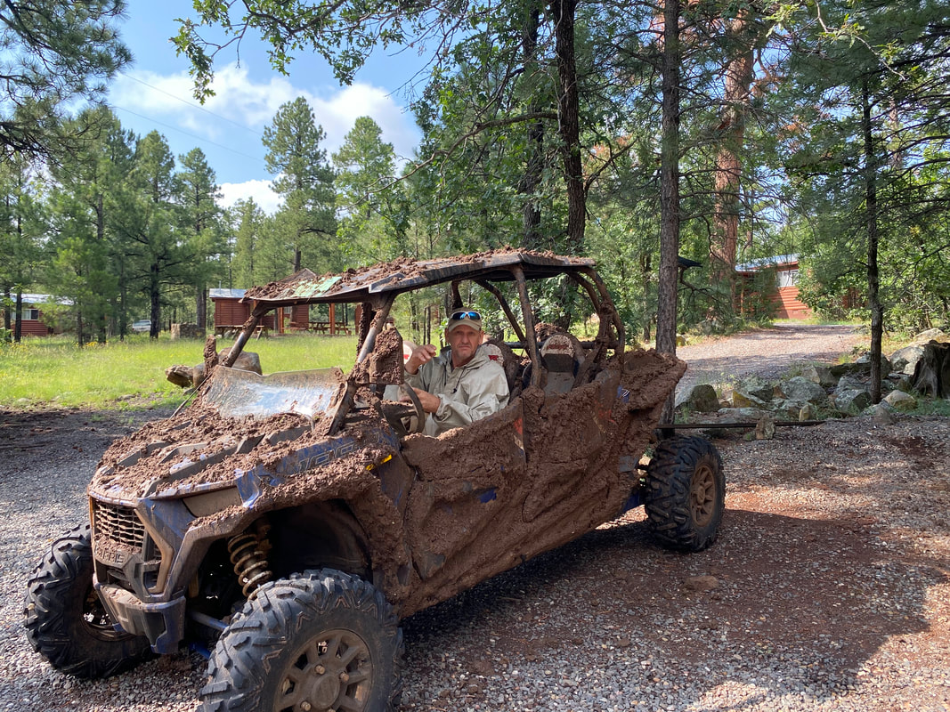
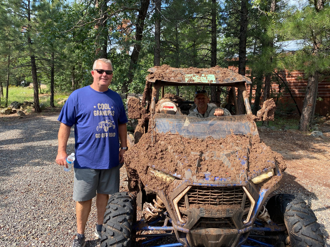
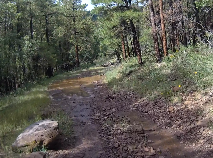
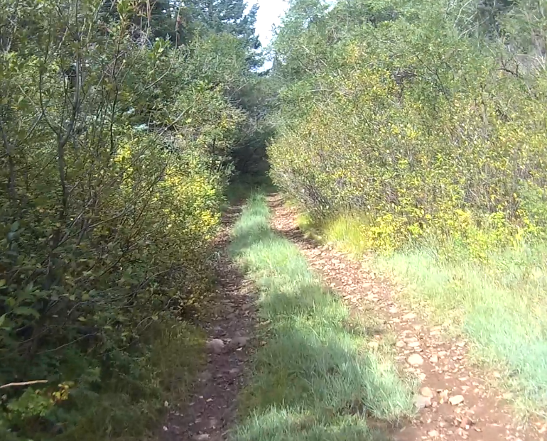
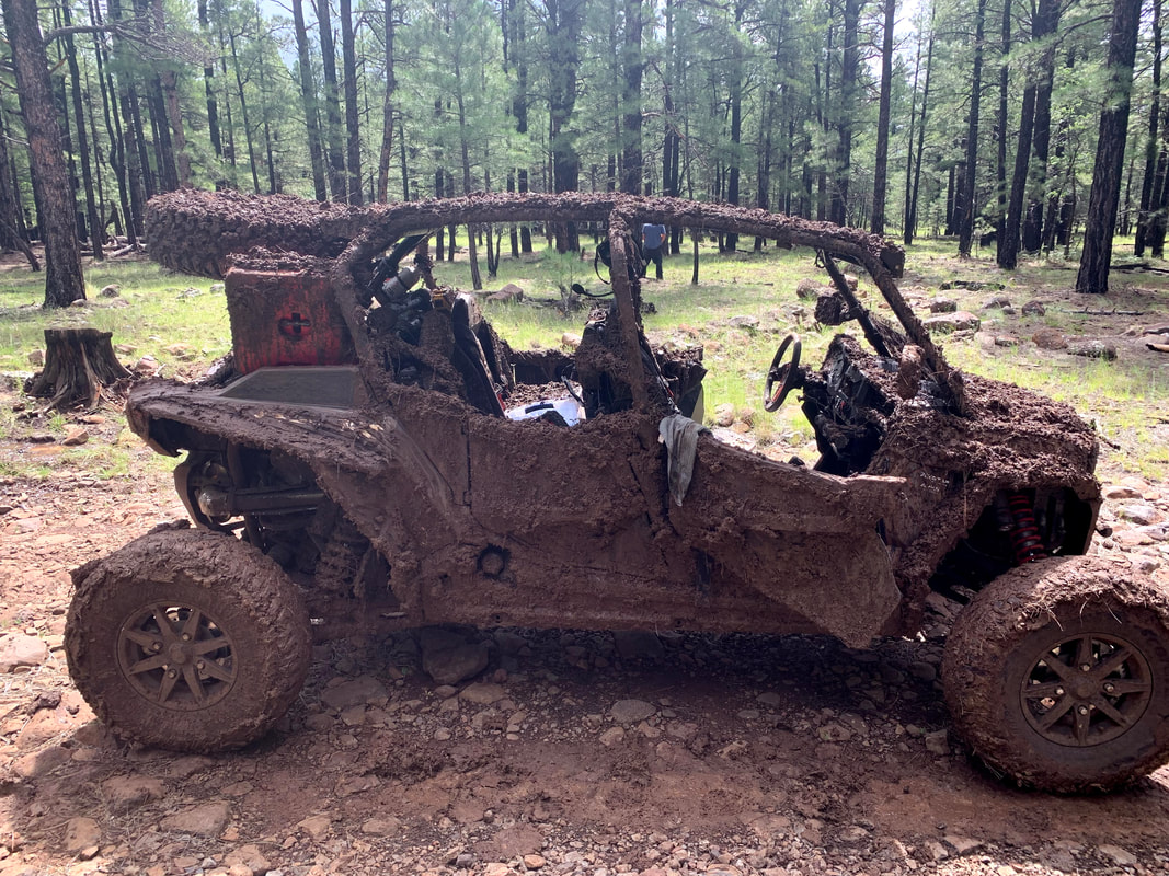
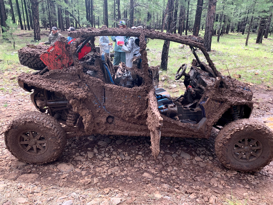
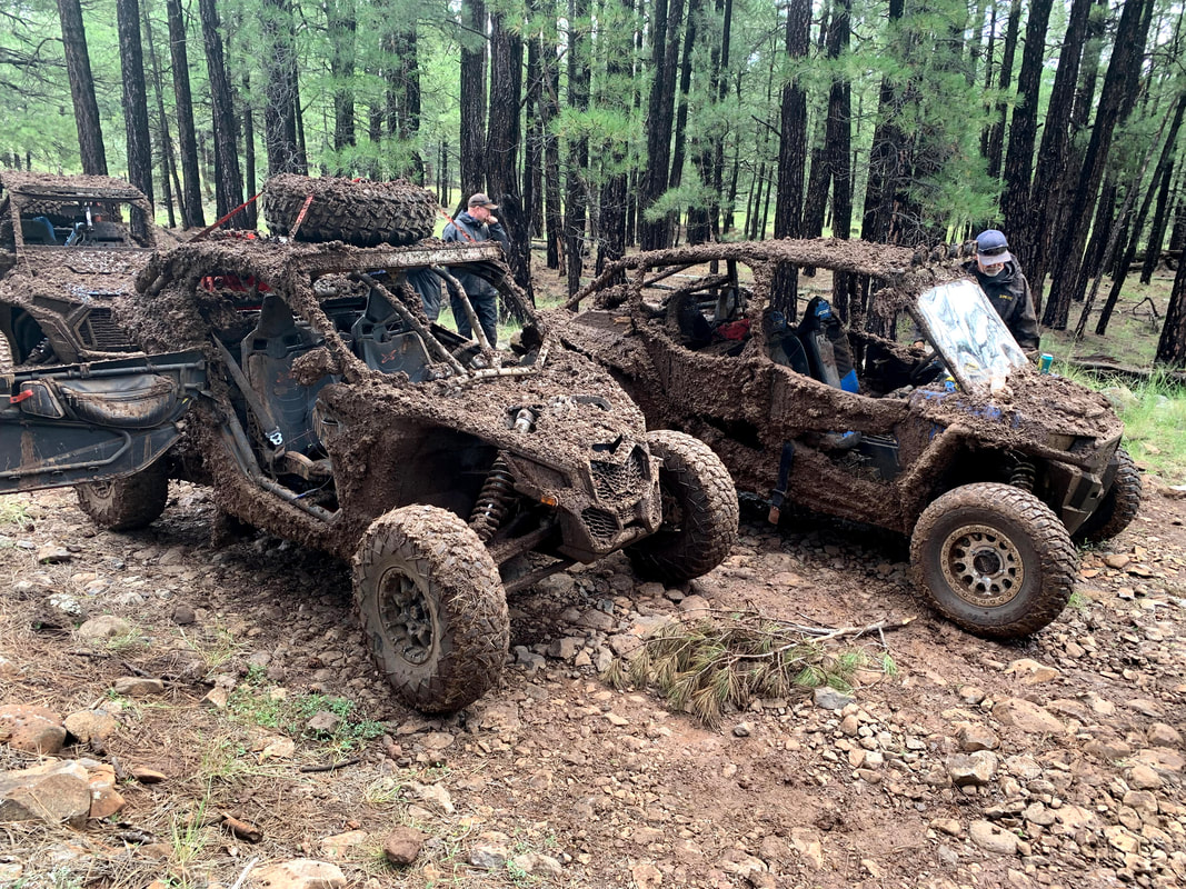
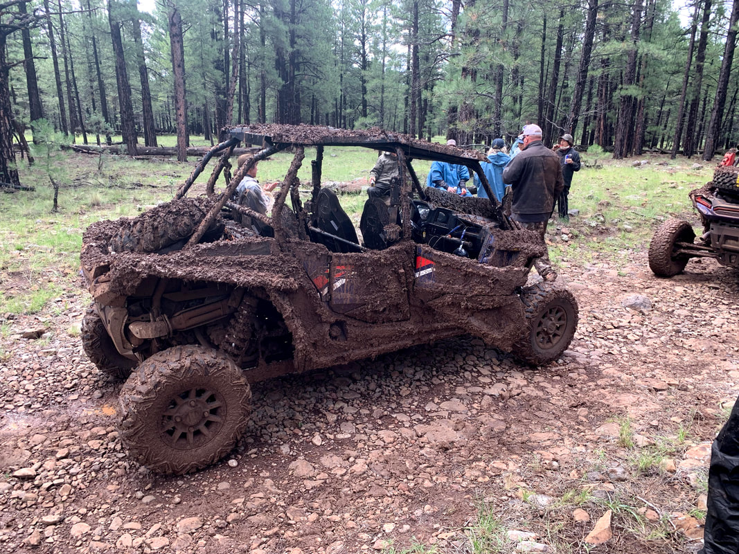
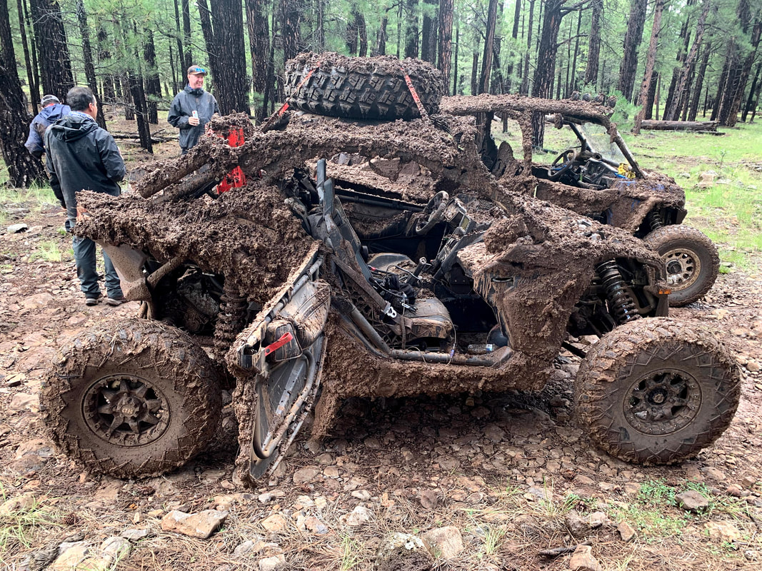
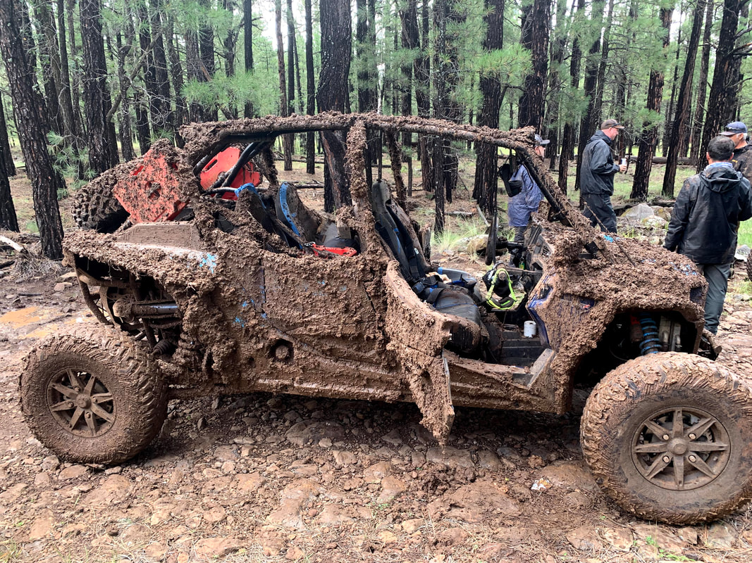
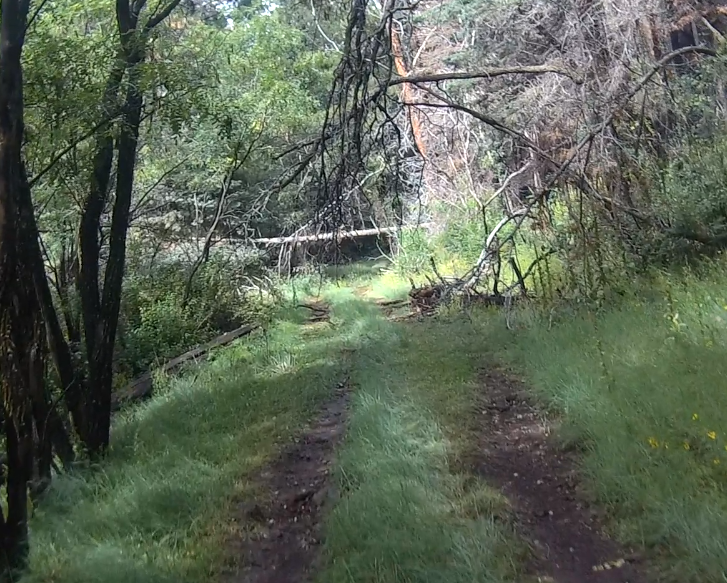
It rained the night before and I knew the trails would be a little muddy. I was wrong, they were really muddy. We left in the morning and crossed Lake Mary Road and I opened the gate onto FR 9474C. When I pre-ran this trail it was really nice. It climbed up into the mountain on a narrow trail through the trees. It was still pretty (pretty muddy) but we continued on. The destination was the Blue Ridge Reservoir and I planned the fastest route which was to follow the power lines on FR 124H. The trail was not too muddy but it goes on forever and gets a little boring so I took a side trail that I had found. This trail was narrow and got narrower the further up it we went. I wasn't sure if the SxS with the tire on the roof would clear the tree across the trail but I think it made it by about an inch.
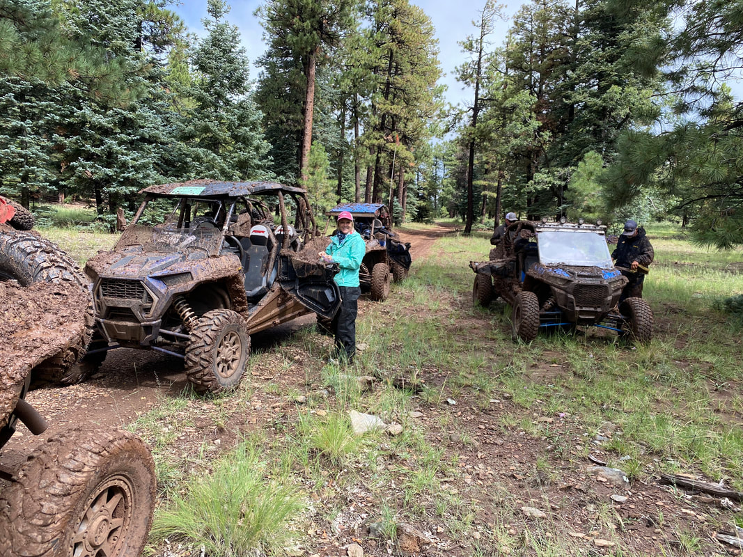
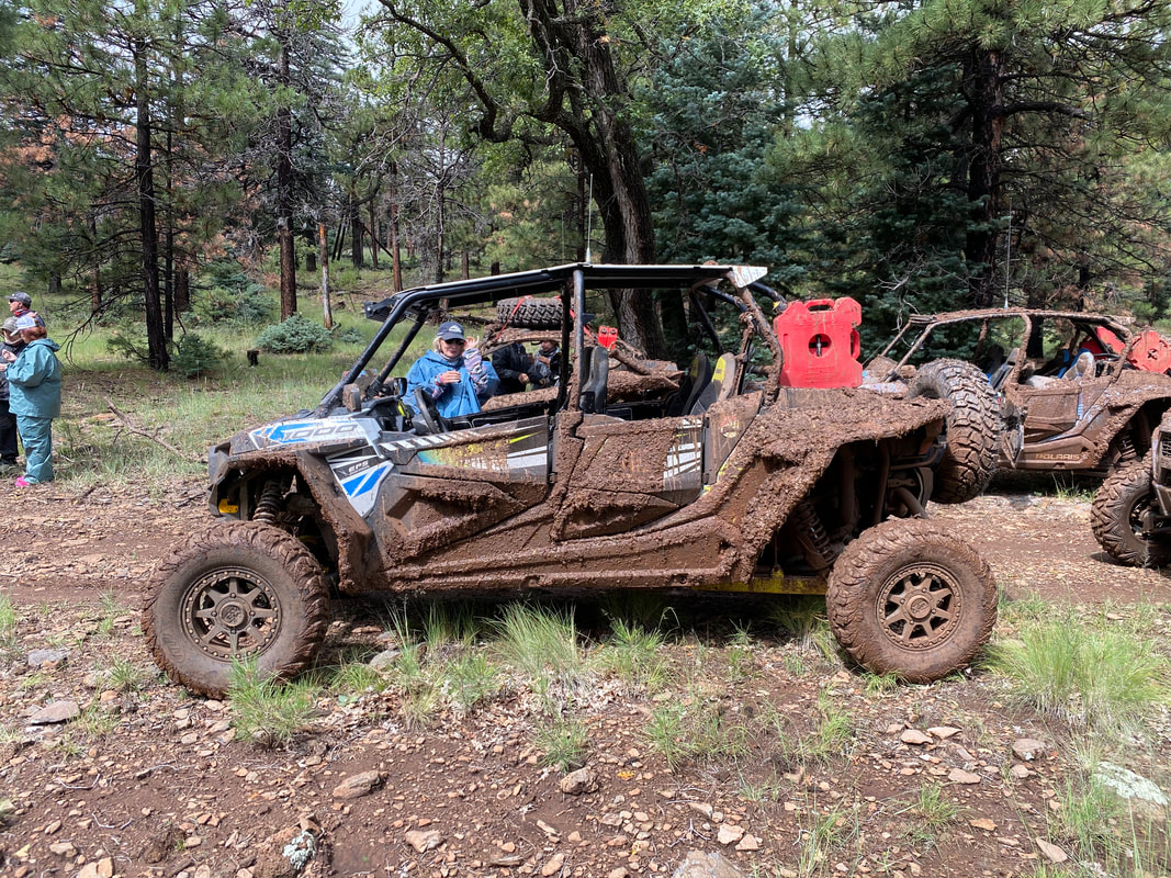
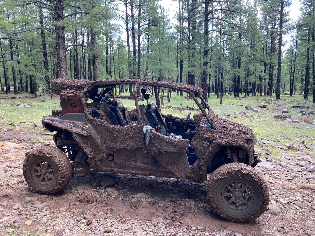
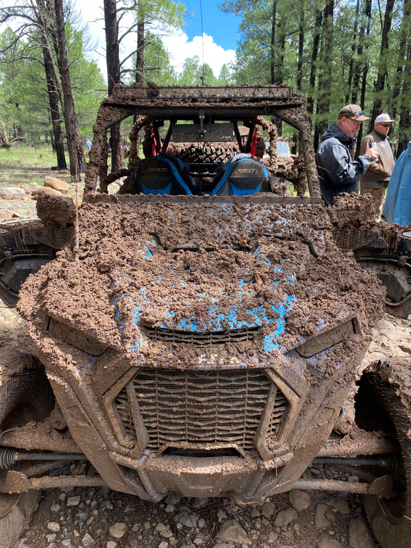
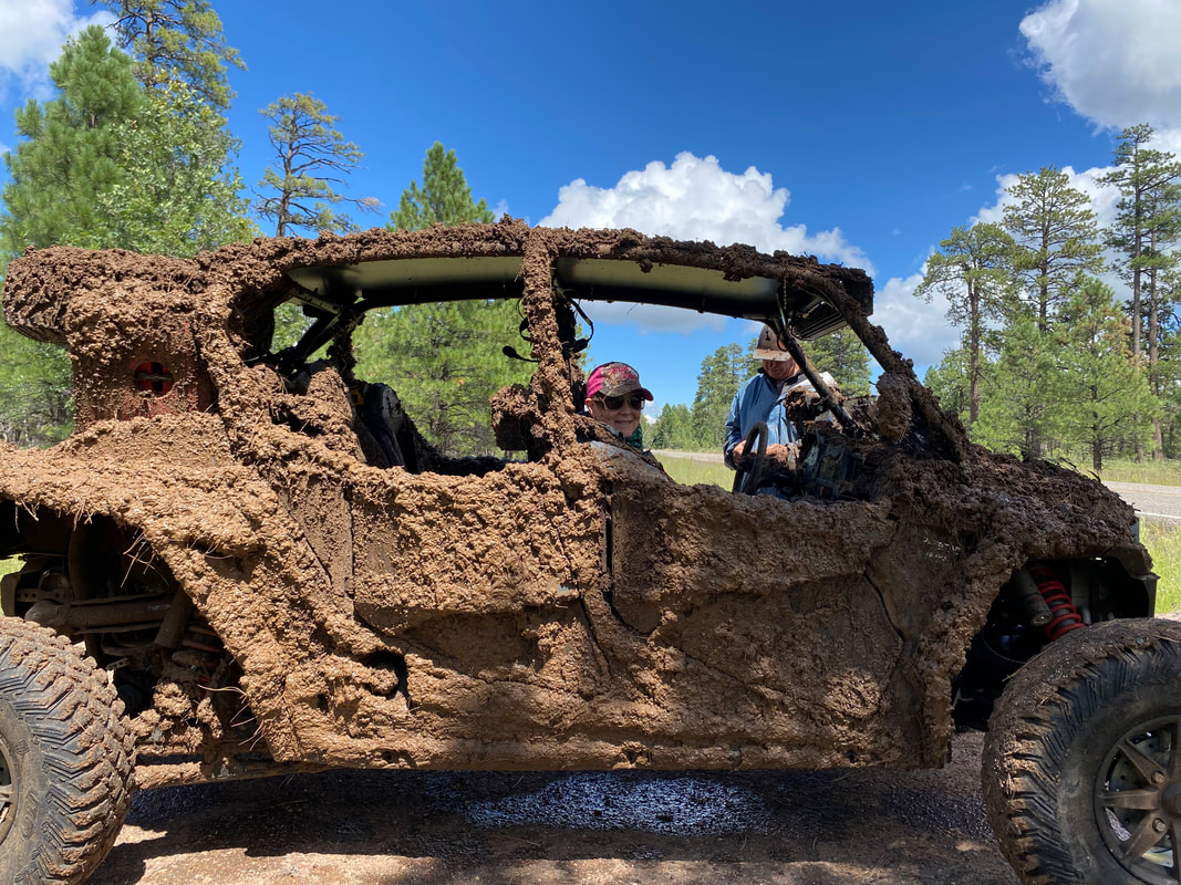
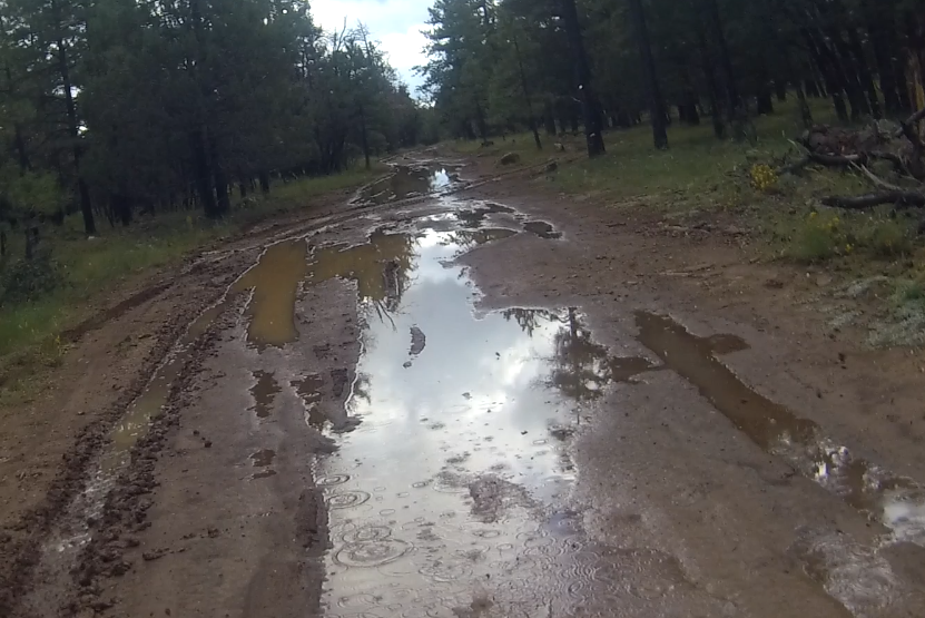
After traveling up the trail for awhile, we stopped for a short break in the forest. We rode another mile and then turned east and back onto the powerline trail. We continued south and took FR 294 west. I missed the left turn onto FR 9391C and had to turn around. This was a pretty bypass trail that had a couple closed gates but was nicer than staying on the main trail. It connected back onto FR 93 which took us south towards the reservoir. It turned west and connected with SR 3 (Lake Mary Road). At this point some of the group decided that while slipping and sliding with little control on these muddy trails was fun, the bar at the Mormon Lake Lodge was more fun, and they took the paved road back. The rest of us turned left and took the paved road for about 1/2 mile turning left on FR 211 which was a nice wide dirt road with some mud but not too bad. I turned right on FR 9749E and headed south towards SR 87. This again was a really nice trail before the rain, not so much after the rain. It was really muddy with few bypass routes. |

|
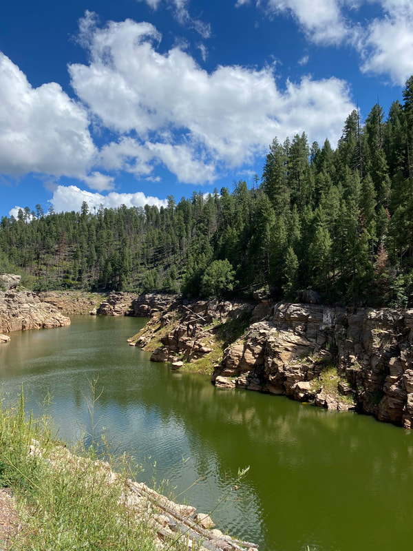
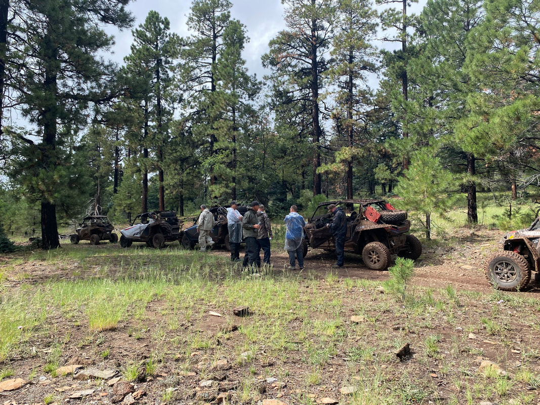
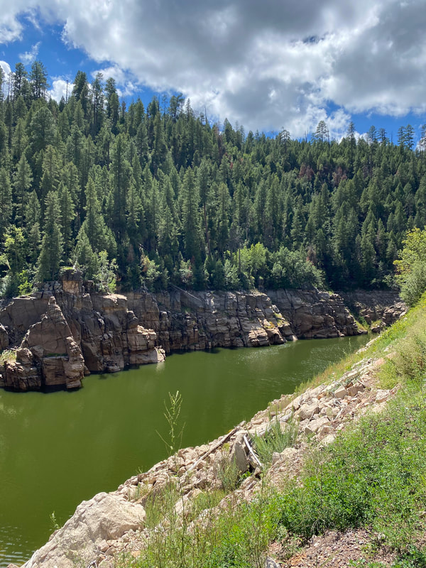
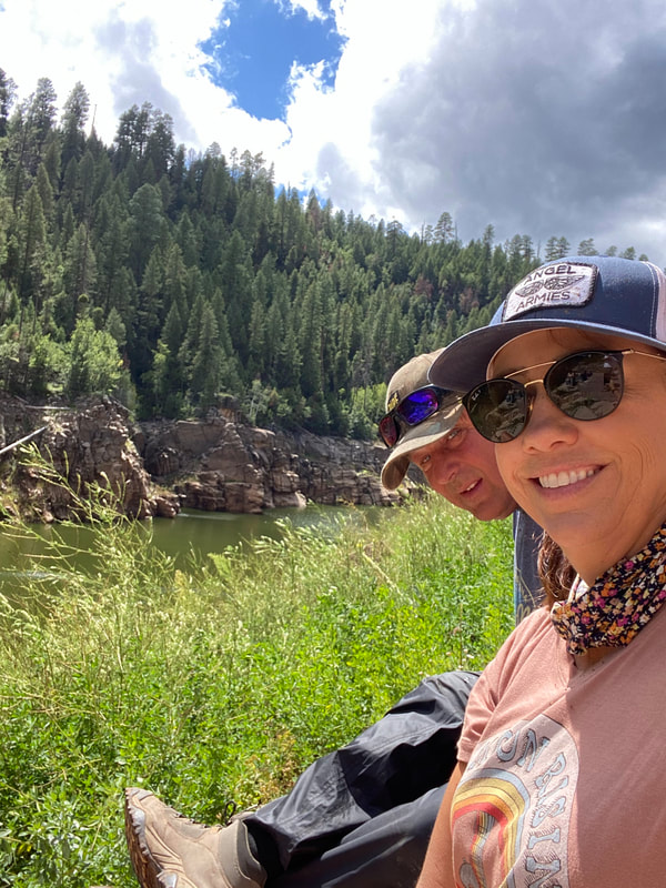
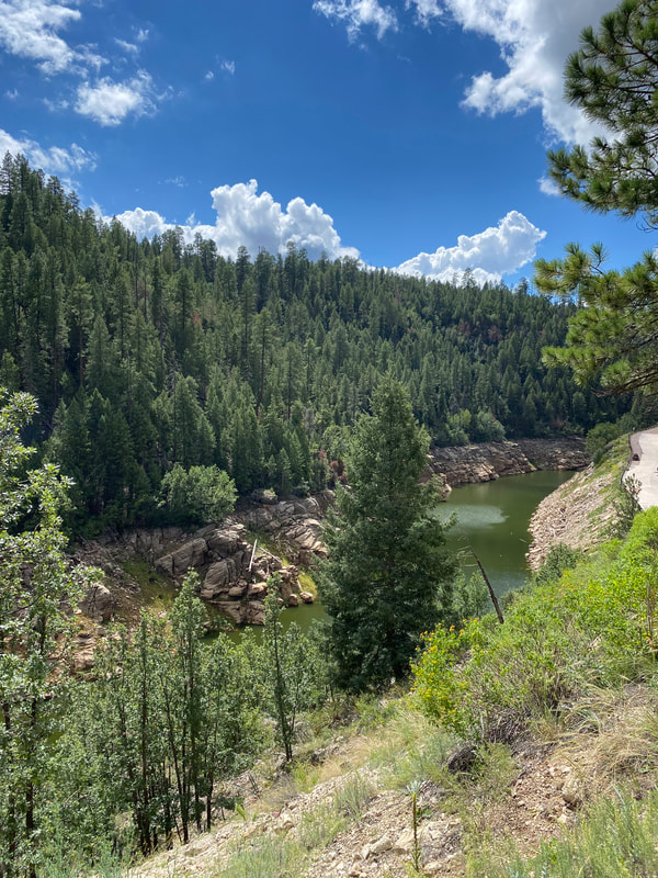
We managed to slosh our way through and got to SR 87. We almost lost Joe but he found the correct trail and joined us for the ride down to the Blue Ridge Reservoir. The trail down to the reservoir FR was smooth and pretty much mud free. This was good since I'm not sure the group was ready for much more mud. At the bottom we stopped and had lunch while enjoying the view.
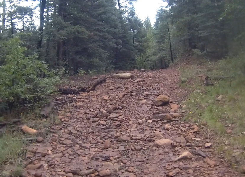
Originally I had planned to continue south and check out a few historic cabins. When I pre-ran the route I decided that it was just too rocky so I decided to skip that portion of the route. Since everyone was pretty much ready to head back, I think that was a good decision.
The way back via trails and dirt roads would have required that we backtrack and take FR 211 along with several other trails that we had taken on Monday. The group decided to stay on the paved SR 87 and SR 3 instead. This required a long ride on the paved roads since none of the trails close by continued north. They all went east and west so we headed north on SR 3 passing the Happy Jack Lodge until we came to FR 229 which went west towards Stoneman Lake. From there I knew there were trails that would take us back to Mormon Lake.
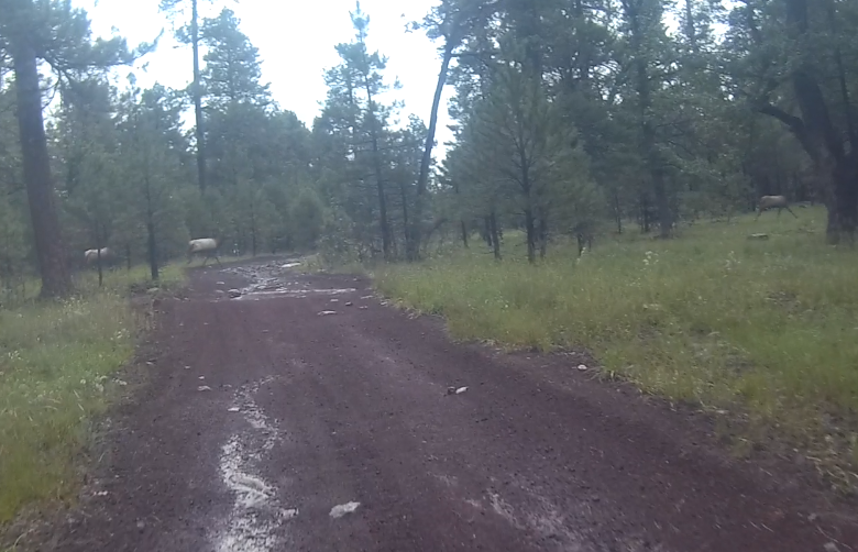
While not as rocky or muddy as some of the other trails we took that day, it had its share of mud holes and rocky sections. At one point a herd (pack, gaggle, ?) of elk crossed the road in front of me. I got it on video so it will be included in the Day 3 video below.
I had not pre-run these trails and was relying mostly on my GPS to make sure we were headed in
Originally I had planned to continue south and check out a few historic cabins. When I pre-ran the route I decided that it was just too rocky so I decided to skip that portion of the route. Since everyone was pretty much ready to head back, I think that was a good decision.
The way back via trails and dirt roads would have required that we backtrack and take FR 211 along with several other trails that we had taken on Monday. The group decided to stay on the paved SR 87 and SR 3 instead. This required a long ride on the paved roads since none of the trails close by continued north. They all went east and west so we headed north on SR 3 passing the Happy Jack Lodge until we came to FR 229 which went west towards Stoneman Lake. From there I knew there were trails that would take us back to Mormon Lake.
While not as rocky or muddy as some of the other trails we took that day, it had its share of mud holes and rocky sections. At one point a herd (pack, gaggle, ?) of elk crossed the road in front of me. I got it on video so it will be included in the Day 3 video below.
I had not pre-run these trails and was relying mostly on my GPS to make sure we were headed in
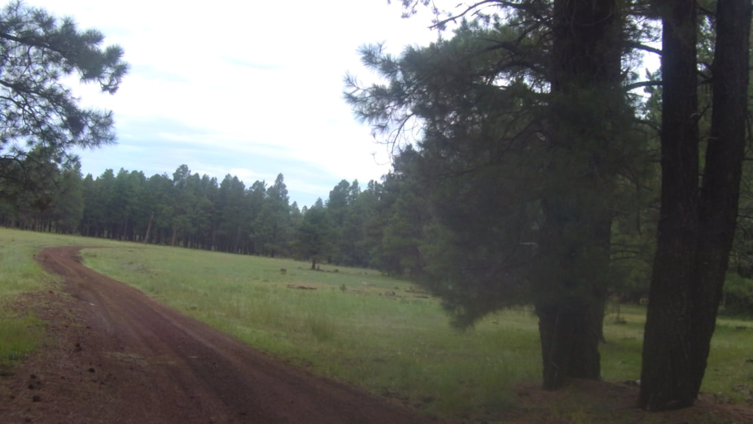
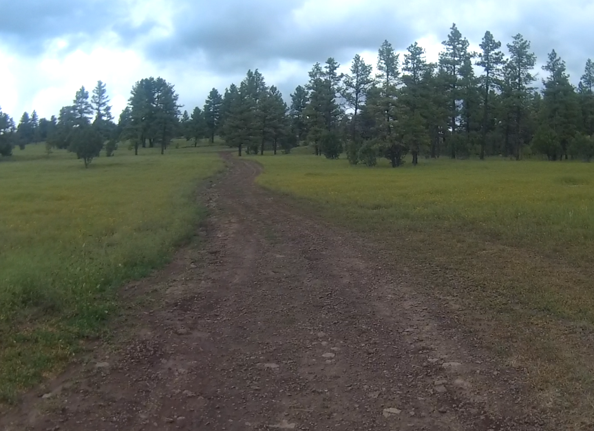
the right direction. Since I did not have my main GPS (no mount for it in the rental), I had to rely on my iPad and Gaia. I had downloaded the local forest maps and up until then it was working great. The weather was bad with lots of clouds causing my GPS to freak out and it was difficult to quickly determine the correct trails to take. We came out onto a very pretty meadow and the trail (FR 229) finally turned north.
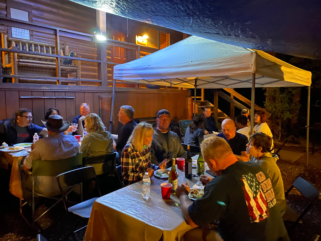
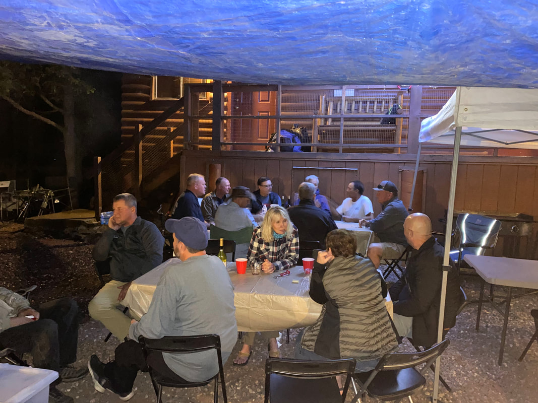
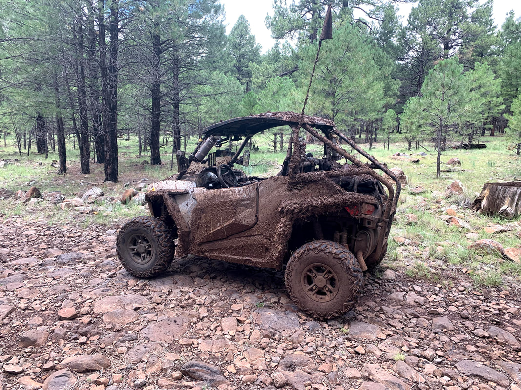
After traveling north through the meadow for awhile, I took FR 213 and we turned east towards Mormon Lake. This trail took us around Stoneman Lake and did not go where I expected so when I was able to turn north again I did so on FR 9364X. It was starting to rain again and the fun factor was deteriorating quickly. We eventually got to FR 935 and took that east until we came to SR 3. It was raining pretty hard now and after I opened the gate, my GPS just quit on me. I was pretty sure that the Lodge was left but after heading that way I though I heard someone say it was right so I turned around. I think Vicky determined that it was really left so everyone headed that way and I was happy to follow. Long day but we made it back to camp without any mechanicals or injuries so I think it was a success. |
|
| day_3_-_mormon_lake_lodge_to_blue_ridge_reservoir.gpx |