Trona Pinnacles
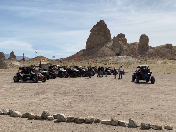
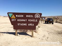
We camped at the Wagon Wheel OHV area which is located on Trona Rd. about 24 miles East of Highway 395. This area is also known as Charlie's Place. The Wagon Wheel staging area is a great place to ride with lots of trails that wind between the boulders. For those that want to explore the area or go on a longer ride, there are many trails that can take you into Randsburg or over to the hills above Ridgecrest. You can also explore the Spangler Hills which provides some great hill climbs.
Here are the GPS coordinates for the Wagon Wheel campsite: 35.573051 -117.550712
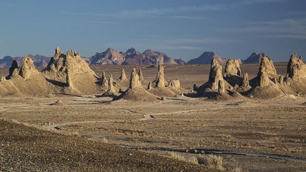
The round trip ride from the Wagon Wheel campsite to the Pinnacles is about 40 miles. We took a trail South that went close to the mountains and took us out onto Teagle Wash (also known as the Pinnacles Rd.) We then headed East across Navy Rd. and down into Searles Valley. We crossed over a rise in the road and there they were "The Trona Pinnacles".
|
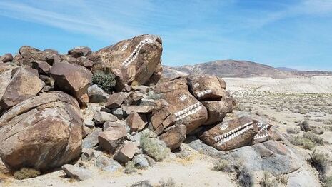
We spent some time exploring the area then headed out East towards the city of Trona. After a few miles we turned left and followed a dirt road North paralleling Highway 178. We crossed the highway and took a short break at the Fish Rocks.
We then continued North along the edge of Highway 178 then turned left, crossed the highway and climbed a steep, super soft trail to the top of the ridge. Now headed West close to Trona Rd. we rode about 5 miles then crossed the highway and took RM4136 West for another 3-4 miles then turned left, crossed Trona Rd. and arrived back at camp. |
|
|
I posted this ride on my Meetup Site (Valley Dirt Riders) and the Southern California RZR/UTV Meetup site. We had 13 riders participate.
|
Since this was such a short ride, we had lunch at camp and then did another 50 miles in the afternoon. That loop took us West over to Cuddeback Dry Lake, then we crossed Highway 395 and headed over to Randsburg. After a short stop we crossed the mountain into Johansburg and then back across Highway 395 and took pretty much a straight shot back to camp. We did 100 miles that day and we all had a great time.
|
